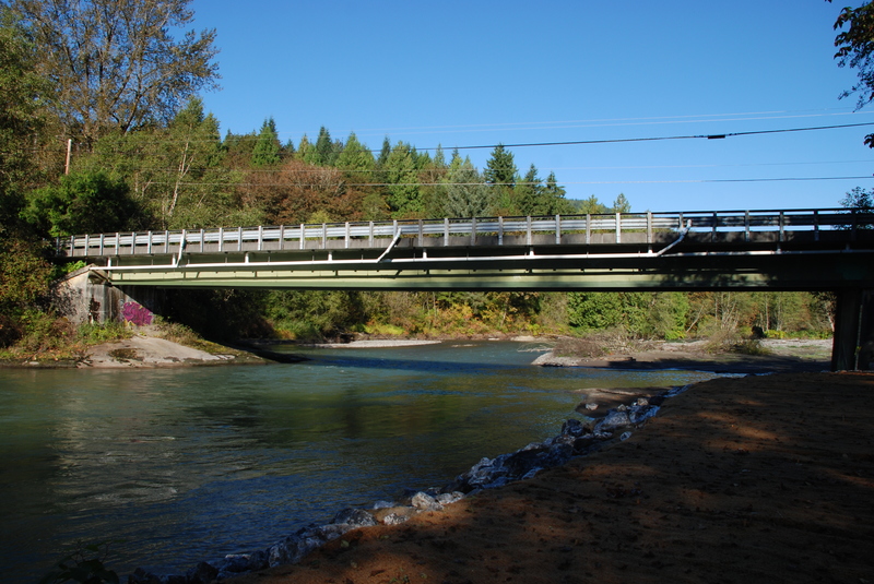
How's Your
River
×
Explore
Explore Map
Water Bodies
Gauges
Access Sites
Tidal Stations
Whitewater
Pricing
Login
Sign Up
Hazard Warning:
Hazard information may be user-submitted and unverified. Conditions change frequently. Always scout rapids and obstacles yourself.
Whitewater
Washington
Nooksack, N. Fork - 4 - Milepost 27 (Maple Falls) to South Fork Nooksack
Highway 9 Take Out
Take-out
WA
Highway 9 Take Out
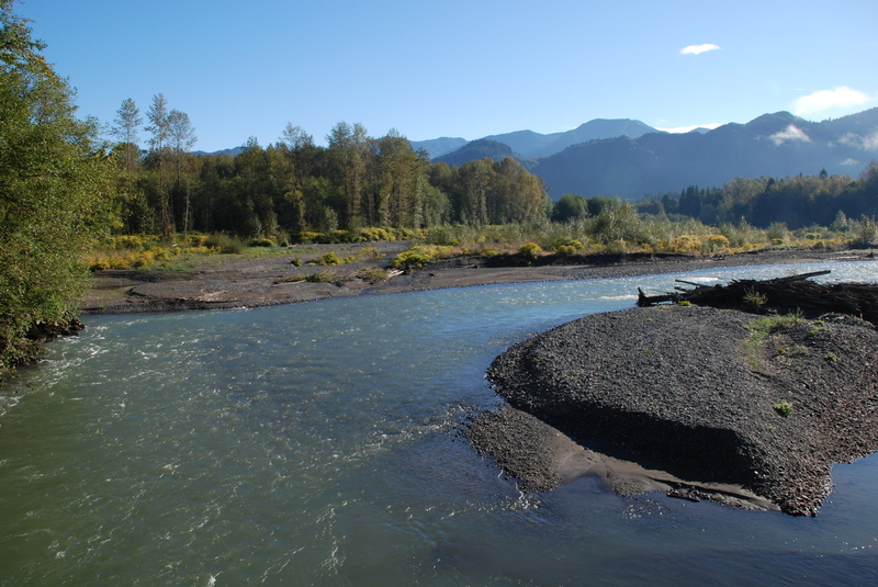
Nooksack, N. Fork - 4 - Milepost 27 (Maple Falls) to South Fork Nooksack (WA)
Monitor this Rapid
Water Body
This Run
Map
Other Rapids
Gauge
Weather
Directions
Gauge Conditions
NF Nooksack River below Cascade Creek near Glacier, WA
Upstream
Primary
Runnable: 500.0 – 2,000.0 CFS
Data from
American Whitewater
&
USGS
Photo
Photo courtesy of
American Whitewater
Location
Radar
Counties
Cell
Verizon
AT&T
T-Mobile
Dark
Satellite
Terrain
Other Rapids on This Run (2)
Rapid
N/A
Maple Falls Access Put-in
0.0 mi
Rapid
N/A
Welcome Bridge
10.5 mi
Type
Take-out
Difficulty
Class N/A
Mile Marker
14.0 mi
Directions
Navigate
View Full Run
4 - Milepost 27 (Maple Falls) to South Fork Nooksack
Nooksack, N. Fork
II
13.0 mi
Current Conditions
5-Day Forecast
Whitewater data from
American Whitewater
Highway 9 Take Out