Gauge Conditions
Data from American Whitewater & USGS
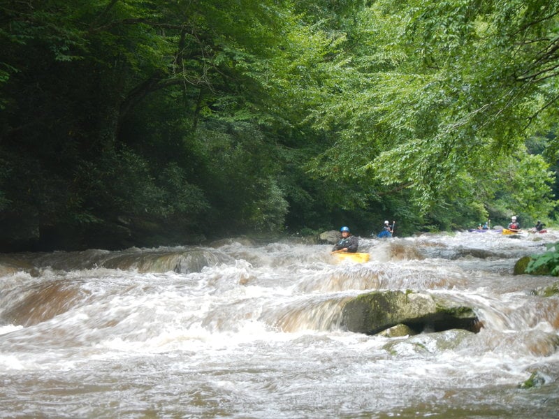
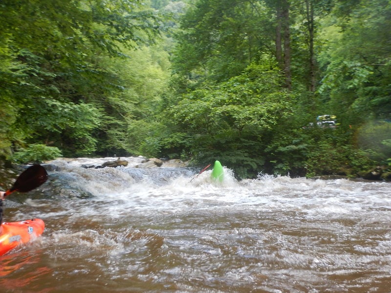
Photo
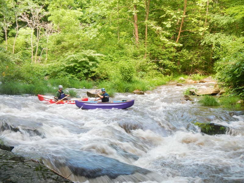
Photo courtesy of American Whitewater
Description
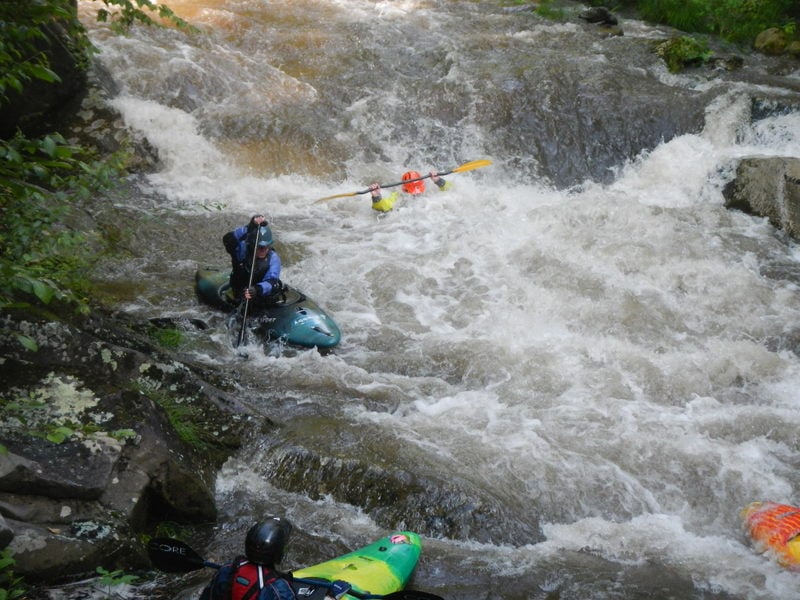
This is the last real rapid worth mentioning on the Upper Nantahala. After a mile of boogie, you'll reach a calm spot. At flows 600cfs and below, you will see the giant rock in the top part of the rapid and at higher flows, it will be covered. The top part of the rapid is a ride on the tongue and moving right to miss the rock. For the next part of the rapid, stay center, moving back into the flow as the water merges from the other side of the island. Keep right angle and stay on the right side of the wave train and you'll be fine. Be very careful here as there are several trees down after the drop on river left that can be hazardous.
Location
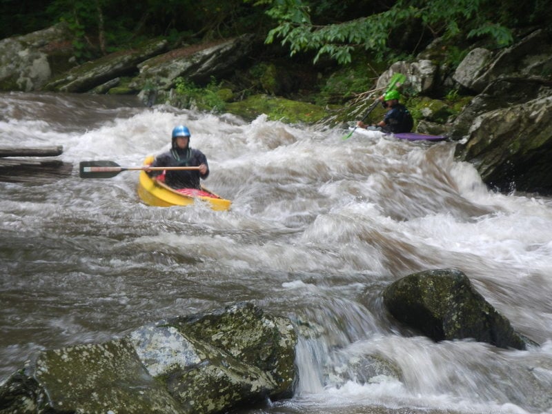
Other Rapids on This Run (10)
 Rapid
N/A
Rapid
N/A
Put-in - Upper, Route 1310 Bridge
 Rapid
III+
Rapid
III+
Magic Carpet Ride
 Rapid
III+
Rapid
III+
PBJ
Rapid
III
Camp Branch Falls Rapid
Rapid
III
Jungle Boogie
Rapid
III+
Bridal Veil
 Hazard
III+
Hazard
III+
Troll Hole/Fuzzy Bunny
 Rapid
III
Rapid
III
S-Turn
 Hazard
III+
Hazard
III+
The Mank/Fraggle Rock
 Rapid
N/A
Rapid
N/A
Take-Out: Nantahala River Launch SIte
View Full Run
2.Upper, Route 1310 Bridge to Hwy. 19
Nantahala
III+(IV)
3.3 mi
Hazard — Exercise extreme caution in this area.
Current Conditions
5-Day Forecast
Whitewater data from
American Whitewater
American Whitewater