Gauge Conditions
Runnable: ? – ? CFS
Approximate - nearest available gauge. Use as general reference only.
Data from American Whitewater & USGS
Photo
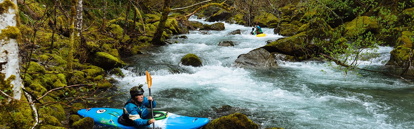
Photo courtesy of American Whitewater
Description
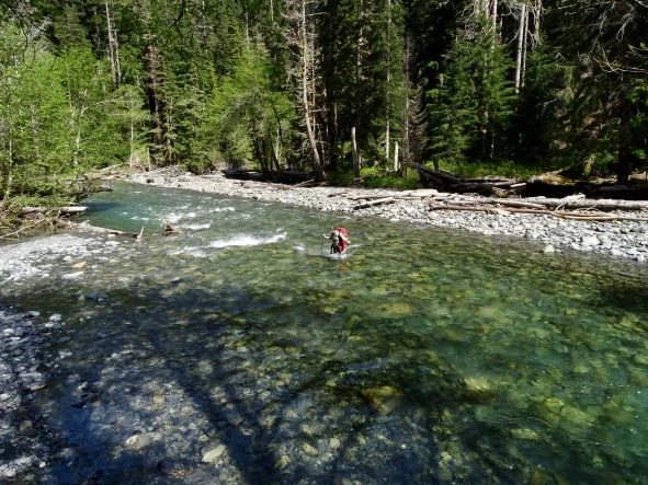
The Kimta Creek Access point marks the put-in for a remote stretch of the North Fork Quinault with limited beta and likely challenging navigation through dense forest terrain. Paddlers should expect potential wood hazards, blind drops, and route-finding challenges in this wilderness section, with GPS coordinates suggesting a narrow access point near steep topography.
Location
View Full Run
Kimta Creek to Quinault
Quinault, North Fork
III+
11.0 mi
Current Conditions
5-Day Forecast
Whitewater data from
American Whitewater
American Whitewater