How's Your
River
×
Explore
Explore Map
Water Bodies
Gauges
Access Sites
Tidal Stations
Whitewater
Pricing
Login
Sign Up
Hazard Warning:
Hazard information may be user-submitted and unverified. Conditions change frequently. Always scout rapids and obstacles yourself.
Whitewater
Georgia
Yellow - 2. US 78 to Hwy 124
Ledges
Playspot
GA
Class II+
Ledges
Yellow - 2. US 78 to Hwy 124 (GA)
Monitor this Rapid
Water Body
This Run
Map
Other Rapids
Gauge
Weather
Directions
Gauge Conditions
Yellow River at GA 124, near Lithonia, GA
Downstream
Primary
Runnable: 200.0 – 1,400.0 CFS
Data from
American Whitewater
&
USGS
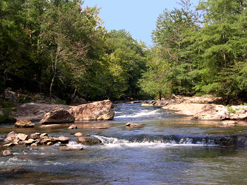
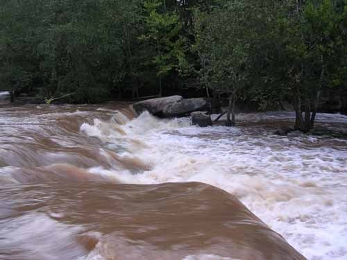
Photo
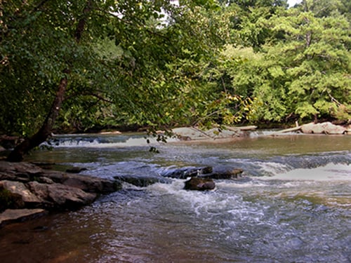
Photo courtesy of
American Whitewater
Description
Set of two ledges before the island. At higher water, work to the right in dropping the second ledge.
Location
Radar
Counties
Cell
Verizon
AT&T
T-Mobile
Dark
Satellite
Terrain
Other Rapids on This Run (4)
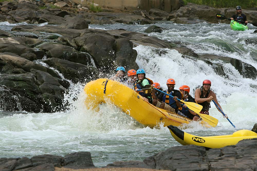
Rapid
N/A
Put In
0.0 mi
Playspot
II+
Island Rapids
1.9 mi
Playspot
III
Annistown Falls
3.4 mi
Rapid
N/A
Take Out
7.4 mi
Type
Playspot
Difficulty
Class II+
Mile Marker
1.8 mi
Directions
Navigate
View Full Run
2. US 78 to Hwy 124
Yellow
I-III
7.4 mi
Current Conditions
5-Day Forecast
Whitewater data from
American Whitewater
Ledges