How's Your
River
×
Explore
Explore Map
Water Bodies
Gauges
Access Sites
Tidal Stations
Whitewater
Pricing
Login
Sign Up
Hazard Warning:
Hazard information may be user-submitted and unverified. Conditions change frequently. Always scout rapids and obstacles yourself.
Whitewater
Washington
Twisp - Buttermilk Creek to town of Twisp
Little Bridge Creek Access
Rapid
WA
Little Bridge Creek Access
Twisp - Buttermilk Creek to town of Twisp (WA)
Monitor this Rapid
Water Body
This Run
Map
Other Rapids
Gauge
Weather
Directions
Gauge Conditions
Twisp River near Twisp, WA
Downstream
Primary
Runnable: 600.0 – 1,600.0 CFS
Data from
American Whitewater
&
USGS
Photo
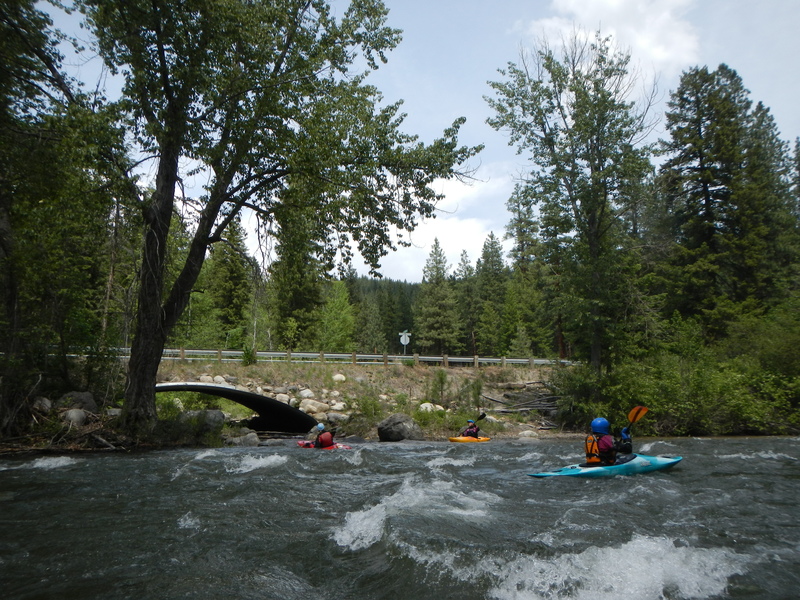
Photo courtesy of
American Whitewater
Description
Roadside access at the start of the class III.
Location
Radar
Counties
Cell
Verizon
AT&T
T-Mobile
Dark
Satellite
Terrain
Other Rapids on This Run (6)
Rapid
N/A
Buttermilk Creek Bridge Put In
0.0 mi
Rapid
N/A
Dispersed Camping Area
1.2 mi
Hazard
N/A
Fish Collection Dam
6.0 mi
Rapid
N/A
Poorman Creek Cutoff Bridge
8.2 mi
Rapid
N/A
Twisp River Bridge at Poorman Creek Road
11.4 mi
Rapid
N/A
Twisp Park Take Out
13.2 mi
Type
Rapid
Difficulty
Class N/A
Mile Marker
3.6 mi
Directions
Navigate
View Full Run
Buttermilk Creek to town of Twisp
Twisp
III
13.0 mi
Current Conditions
5-Day Forecast
Whitewater data from
American Whitewater
Little Bridge Creek Access