Gauge Conditions
Runnable: 150.0 – 1,000.0 CFS
300-900 for rafts. Kayaks and duckies can get down as low as 150. It gets really pushy at the higher flows, and certainly over 1000.
Data from American Whitewater & USGS
Photo

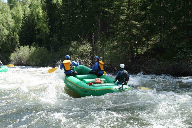
Photo courtesy of American Whitewater
Description
Logging Creek Mid-Point Access provides an alternate entry point for Belt Creek's Monarch to Riceville section, allowing paddlers to bypass upstream segments. The access point appears to be a functional entry/exit location with likely variable water conditions typical of Montana mountain streams, though specific rapid characteristics are not clearly defined in the provided information.
Location
Other Rapids on This Run (2)

View Full Run
2. Monarch to Riceville
Belt Creek
II-III
16.0 mi
Current Conditions
5-Day Forecast
Whitewater data from
American Whitewater
American Whitewater