Lost Guide
Pigeon - 1. Walters Power Plant at Waterville/Big Creek to Hartford Bridge (TN)
Gauge Conditions
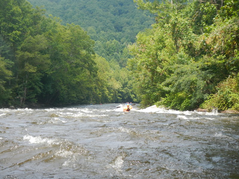
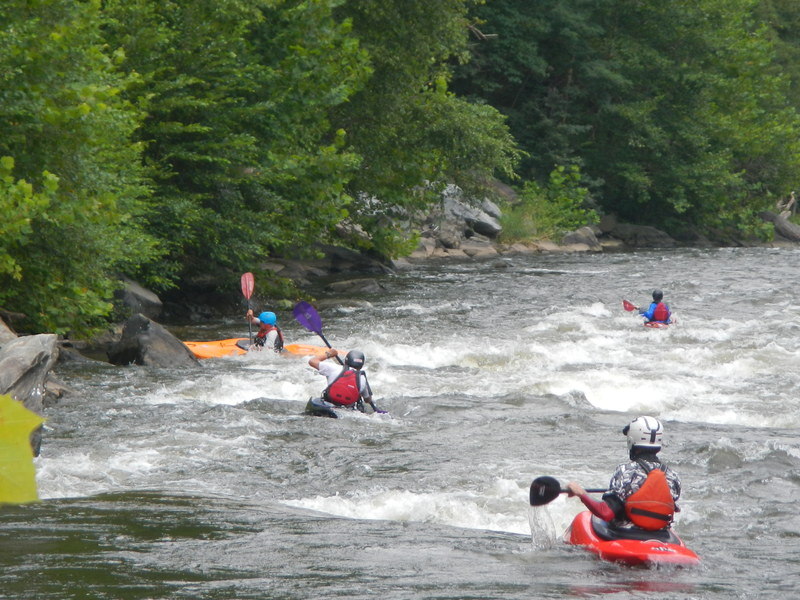
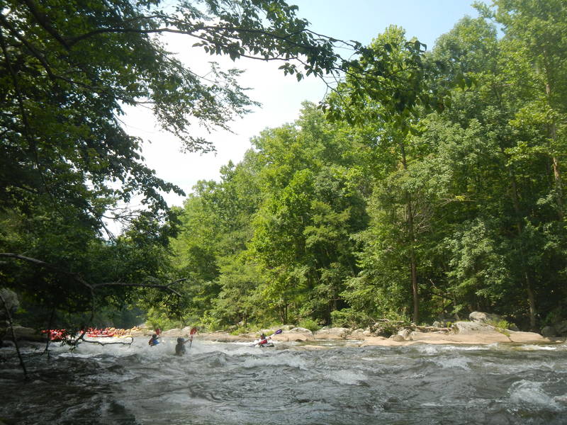
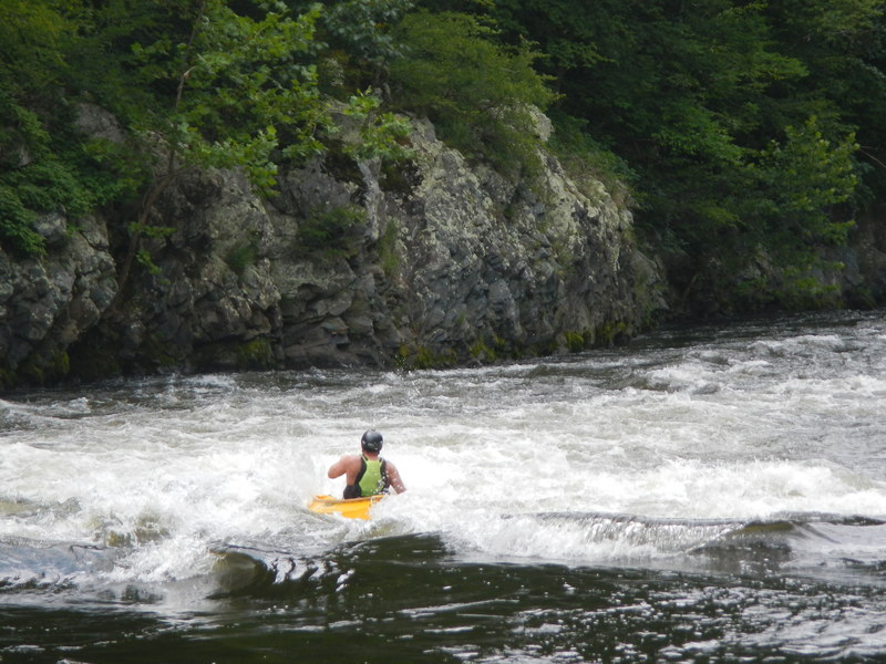
Photo
Description
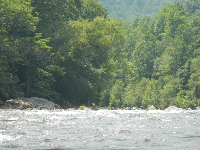
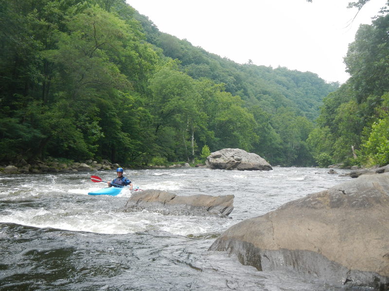
There is a class 2, mostly standing wave rapid after Roller Coaster. You will know you are at the top of lost Guide when you see a rounded pyramid shaped rock by itself in the middle of the river. This rock has a small piece of vegetation growing out of its left side and at 2 turbines sticks about 4 feet out of the water. Across from this rock near river right is a rock cluster with a 6 ft high bush growing out of the left side. There is a nice eddy to gather a group at the rock cluster with the bush. The traditional line through Lost Guide on the right, staying about 15 feet off the right bank. As you pass the first drop, IMMEDIATELY cut left to the center of the river (and to the left of a spine rock that sticks around a foot out of the water and is around 20 feet long and oriented up and downstream. If you miss this move to the center of the river and wind up on the right of the spine rock, there is a bumpy "escape hatch" at the lower end of the spine rock. The rocks along the right side of the river seem to be firmly attached to the earth's crust and don't move from year to year. The rocks on the center and left are loose and get shifted around from year to year. Thus the left lines change from year to year.
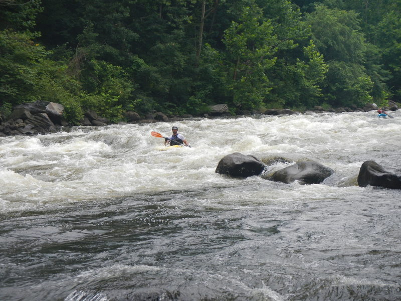
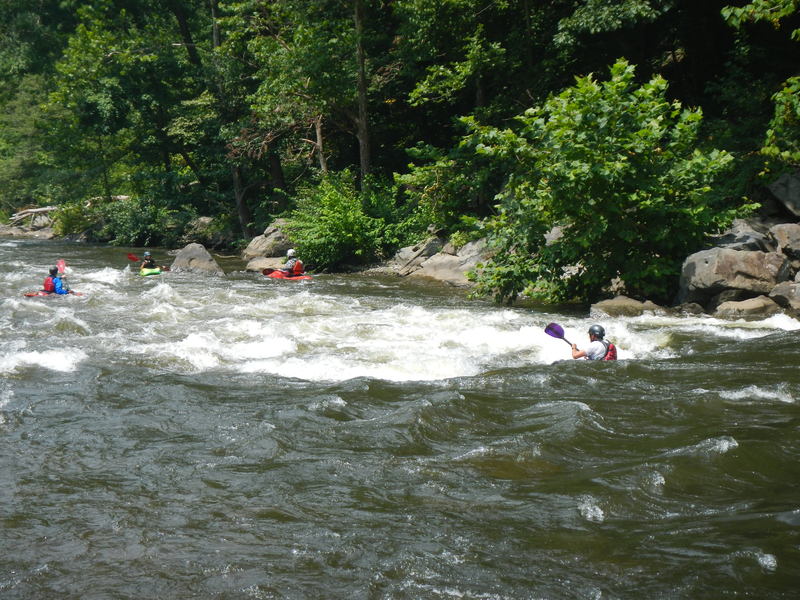
As of 2014 - From your eddy at the rocks with the bush, you can see a huge boulder on river left with a slightly tilted flat side. There is an easy to read standing wave train to as far as this boulder and an eddy by the boulder from which you can plot your next move. Your choices are to peel out and head down the left; this line requires accuracy or luck. You can also peel off and angle right, finishing near the pyramind rock on river right. If you are about 8-16 feet off the left bank, you will go into a nasty hole and provide entertainment to the onlookers sitting on pyramind rock or in the eddy in their boats. Once in the eddy by pyramid rock, you can check out the wave / hole on river right for surfing opportunities.
This is the highest consequence rapid on the Pigeon River due to the hole that gave this rapid its name. Nearly parallel with Pyramid Rock is a large hole that is a terminal hydraulic at most flows and gets really meaty as the water gets higher. This hole, sometimes just called "The Soup" causes most of the commercial flips and numerous beatdowns every season. If squared up, a raft can punch it at a lot of flows with enough speed, but will flip if hit sideways 99% of the time. This hole can be dodged easily on the left and on the right and feeds directly into a large pool of slackwater that allows for plenty of time to recover.
Location
Other Rapids on This Run (15)
 Playspot
III+
Playspot
III+
 Rapid
II
Rapid
II
 Rapid
II+
Rapid
II+
 Playspot
II+
Playspot
II+
 Rapid
II+
Rapid
II+
 Playspot
III
Playspot
III
 Playspot
III+
Playspot
III+
 Rapid
III+
Rapid
III+
Current Conditions
5-Day Forecast
American Whitewater