Put-in
WV
Low Water Put-in - Red Creek Confluence
Cheat, Dry Fork - 3. Synder Road (CR 32/4 bridge over Dry Fork to Jenningston (WV)
Gauge Conditions
Data from American Whitewater & USGS
Photo
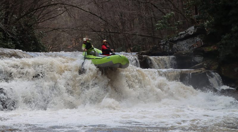
Photo courtesy of American Whitewater
Description
At the confluence of Red Creek, this low water put-in offers boaters access to the Dry Fork section of the Cheat River. While specifics are limited, paddlers should be prepared for potential shallow conditions and potential route-finding challenges during low water levels, necessitating careful navigation and potential boat portage.
Location
Other Rapids on This Run (2)
View Full Run
3. Synder Road (CR 32/4 bridge over Dry Fork to Jenningston
Cheat, Dry Fork
I-II
7.2 mi
Current Conditions
5-Day Forecast
Whitewater data from
American Whitewater
American Whitewater