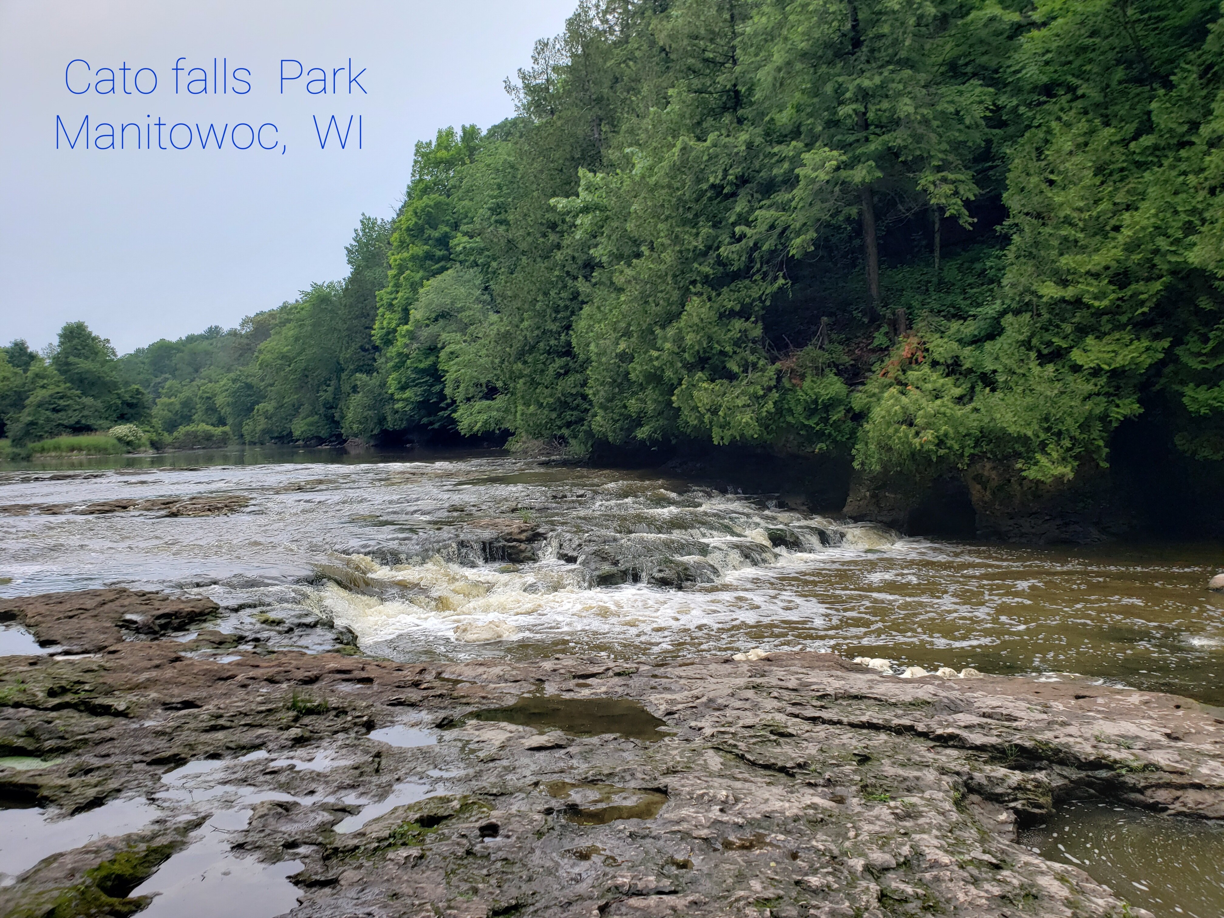
Lower Cato Falls
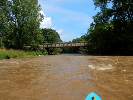
Manitowoc - A) Leist Road to Cnty.Rd.S (PnP or 4.5 miles) (WI)
Gauge Conditions
Flatwater float, but gradient will be grungy (likely portage).
Photo
Description
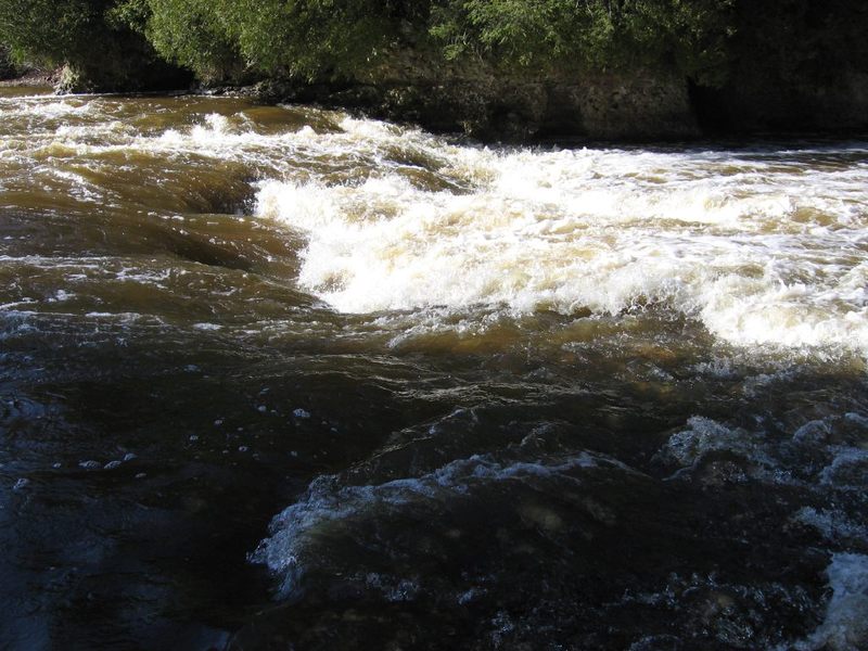
For South Eastern Wisconsin this is a 'falls'. There is a ledge/drop here, but it is hardly a 'falls'. It will be exciting/challenging for novice (non-whitewater) paddlers. For reasonably experienced whitewater paddlers, at low-to-moderate water levels, it will not provide any real difficulty. At higher flows (800-1500 cfs), there will be some decent play here. Some of the lead-in waves will allow tame surfs and spins, before dropping through the larger ledge and the couple of waves below it. At flows above 2000, the full-out freestyle crowd has been loving this spot!
This is a popular spot for fishing, as fish often aggregate in the pools to the sides of the main flow here. Expect to contend with fishermen at certain times of year.
Enjoy the following video of this spot at 2750 cfs:
Cato Falls Playing from Philllll on Vimeo.
Lower Cato Falls of the Manitowoc River at 2750cfs.
April 6, 2013
Parking and access from Lower Cato Falls County Park allow using this as a PnP ('Park and Play') location. Follow the signs for the path (down a series of wooden stairs) to get to the 'falls' (about 180 yarda/0.1 mile). There is a fine Disc Golf course in the park, along with restrooms.
Location
Current Conditions
5-Day Forecast
American Whitewater