Marked rapids #3
Black (Mississippi Trib.) - F) Hatfield Hydro to Hall's Creek Landing (3.9 miles) (WI)
Gauge Conditions
Uncertain. Probably still low, but may be mild play. We need your input! Please add a comment or report!
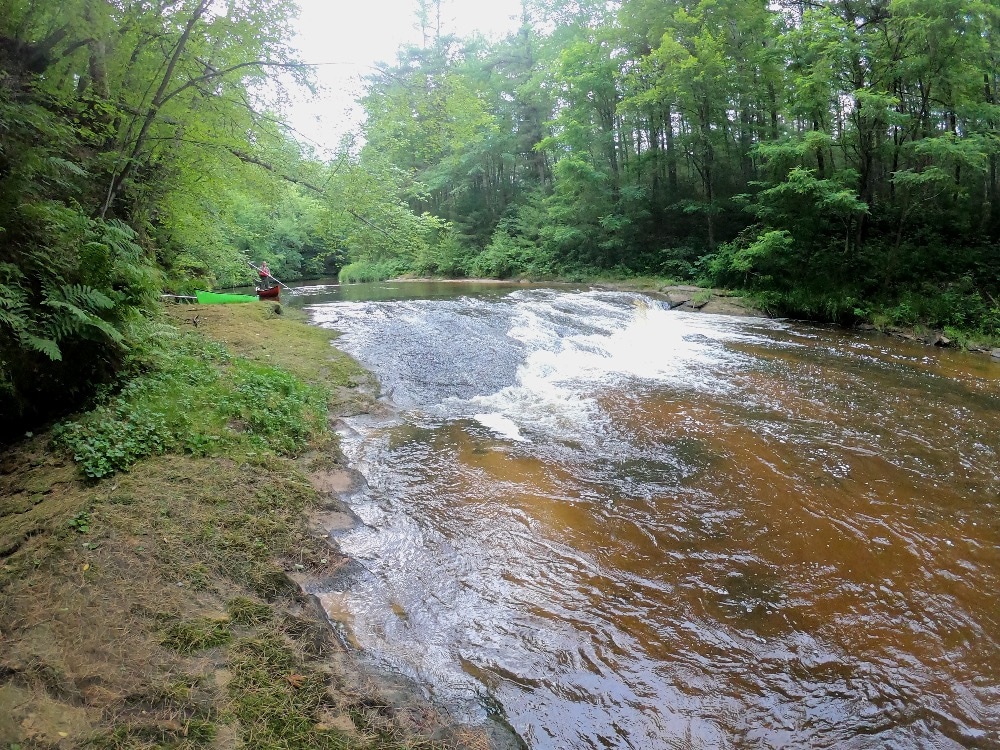
Photo
Description
(Info gleaned from Google Maps Satellite images (at unknown flows), and does not necessarily reflect reality at recommended flows.)
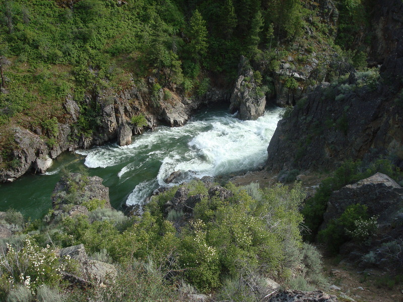
Another (smaller) island appears to be preceded by a bit of bedrock forming a ledge-type rapids.
Since this lies little more than a half-mile down from the prior rapids, if access and parking are indeed available there, it may be worth paddling down, checking this out, then portaging back up to do these two as a park-and-play.
We have no specific firsthand knowledge of this rapids. Can anyone provide any info?
Location
Other Rapids on This Run (4)

Current Conditions
5-Day Forecast
American Whitewater