Take-out
WA
Meadowbrook Bridge, Snoqualmie Valley Trail Access
Snoqualmie, Middle Fork - 5 - Tanner to North Bend (WA)
Gauge Conditions
Runnable: 800.0 – 2,500.0 CFS
The gauge is located about 6 miles above the put-in. There are a few large creeks, so during and after rain events, the actual flow can be significantly higher
Data from American Whitewater & USGS
Photo
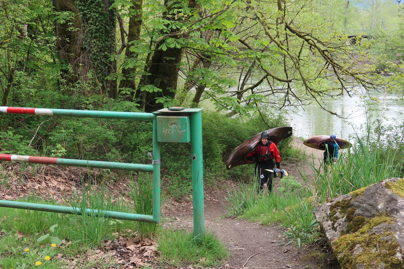
Photo courtesy of American Whitewater
Description
Access is available on river right along SE Reinig Road where the Snoqualmie Valley Trail crosses the river at the Meadowbrook Bridge, an old railroad bridge now servering as a trail crossing. Downstream of this point the river is more channelized and access is challenging as the river continues on its approach to Snoqualmie Falls.
Location
Other Rapids on This Run (3)
View Full Run
5 - Tanner to North Bend
Snoqualmie, Middle Fork
II
6.2 mi
Current Conditions
5-Day Forecast
Whitewater data from
American Whitewater
American Whitewater