Memorial Park Dam (not on Turtle Ck, but on Jackson Ck)
Turtle Creek - A) Delavan to Hwy.140 (PnP or up to 19 miles) (WI)
Gauge Conditions
Likely too low for any whitewater play. River may be floated, but expect to scrape in numerous places.
Photo

Description
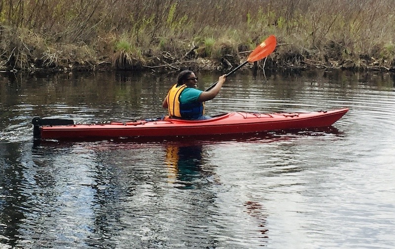
Jackson Creek enters from river-left. About 0.3 mile upstream, it has a small dam off Zoellner Lane (also marked Waterworks Drive on some maps), adjacent to Andy's Park (a skate/bike park with ramps, etc.). I heard rumors this site might provide some play opportunities.
Jackson Creek has two gauges. The first is labeled "Jackson Creek at Mound Road Near Elkhorn, WI", and has drainage area 16.5 square miles. The second gauge is about 260 yards downstream of a dam which regulates pond height for Delavan Lake. It lists drainage of 42.1 square miles. Oddly, while that gauge is on Jackson Creek, it is labeled "Delavan Lake Outlet at Borg Road Near Delavan, WI". At the Veterans Park dam, drainage is 51.3 Sq.Mi., so flow here could be 1.2 times that gauge reading. (Photo accompanying is at 72 cfs on that gauge, so possibly ~86 cfs coming through this dam.)
Outflow from the dam may look like it would provide some play (at some flows). However, when there is adequate flow to create a (potentially surfable) wave at the base of the spillway of the dam, the current rips through the short pool and drops over a small cement ledge, leaving precious little time or space for a paddler to stay in the short pool for any repeat play.
For years (and as of spring, 2025) there has been a large deadfall just downstream of this cement ledge. Beyond that, more strainers and sweepers, then a street-bridge for CTH.P lies which sits so low over the water that it will not allow boater passage at virtually any flow.
Location
Current Conditions
5-Day Forecast
American Whitewater