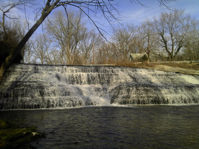
Middle Fork Dam
Whitewater, E.Fk. - a) Hayes Arboretum Road to Test Road (5.8 miles) (IN)
Gauge Conditions
Almost certainly too low for any whitewater. (Likely under 100 cfs on E.Fk. before Richmond.)
Photo
Description
Another site potentially worth checking out in this area would be the Middle Fork Dam. Just downstream of the spillway, the river trips across a couple of interesting looking ledges.
Drainage area at this dam is 47.66 square miles, so it will have very little water much of the year (as currently showing on aerial views), but should get enough flow to be interesting after good rainfall.
Distance is listed from the put-in of the run on the E.Fk., and is listed as negative to indicate this is NOT ON the run of the listed section.
Location


Current Conditions
5-Day Forecast
American Whitewater