Gauge Conditions
Runnable: ? – ? CFS
Approximate - nearest available gauge. Use as general reference only.
Data from American Whitewater & USGS
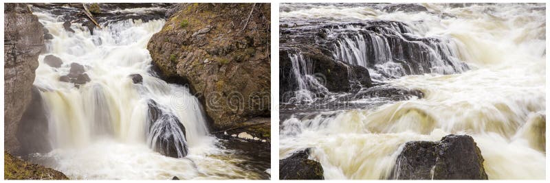
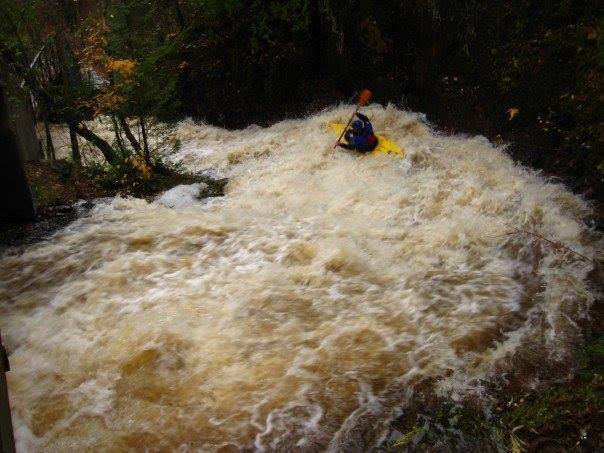
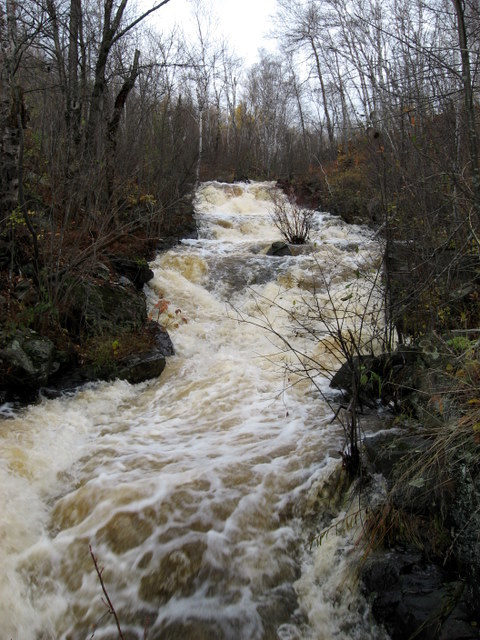
Photo
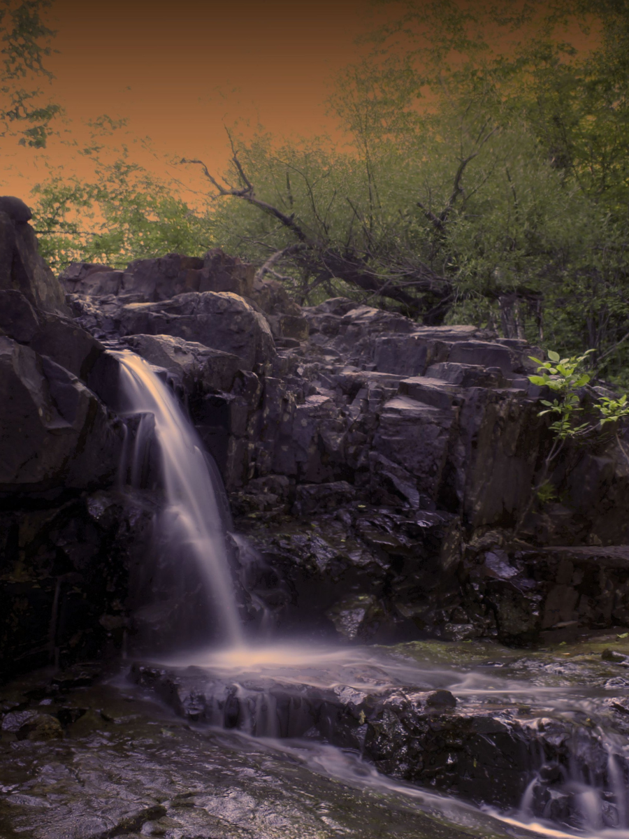
Photo courtesy of American Whitewater
Description
A USGS sampling site (where the creek passes under US53/Miller Trunk Hwy near UHaul) lists drainage of 5 square miles. Another sampling site near the mouth lists 10 square miles.
From W.Skyline Parkway to W.3rd Street the river drops the equivalent of 445 FPM across 0.83 miles.
Anyone ever done this? How far up were you able to start? Add a comment or report!
Location
Other Rapids on This Run (11)


View Full Run
various
Duluth creeks
IV-V+
20.0 mi
Current Conditions
5-Day Forecast
Whitewater data from
American Whitewater
American Whitewater