Gauge Conditions
Runnable: 1,000.0 – 20,000.0 CFS
Data from American Whitewater & USGS
Photo
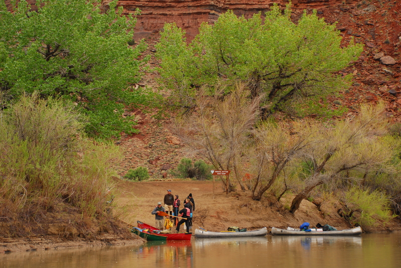
Photo courtesy of American Whitewater
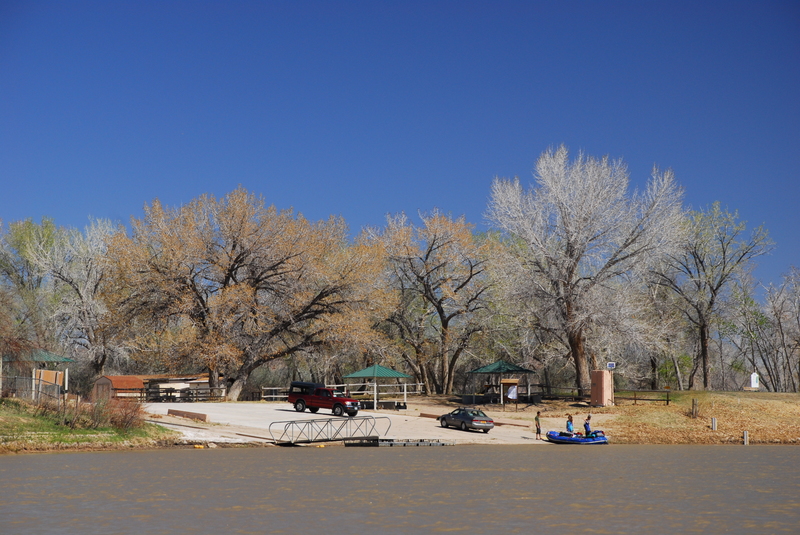
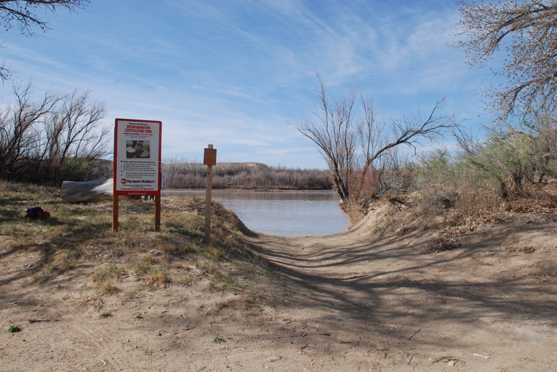
Description
Access point serving as a take-out for Labyrinth Canyon and a put-in for Stillwater Canyon.
Location
Other Rapids on This Run (3)
![Spanish Bottom, Take-Out [jet boat pick up]](https://howsyourriver.s3.amazonaws.com/images/rapids/spanish-bottom-take-out-jet-boat-pick-up-green-ut.jpg)
View Full Run
05. Green River Town to Colorado Confluence
Green
I
121.2 mi
Current Conditions
5-Day Forecast
Whitewater data from
American Whitewater
American Whitewater