Gauge Conditions
Likely good boatable flows.
Photo
Description
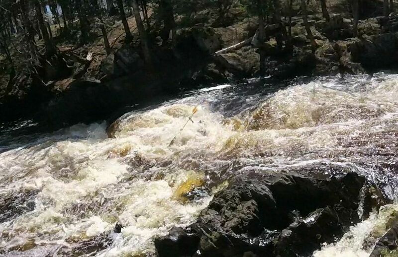
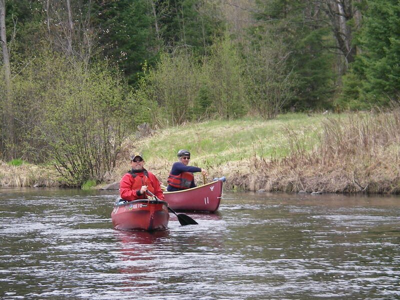
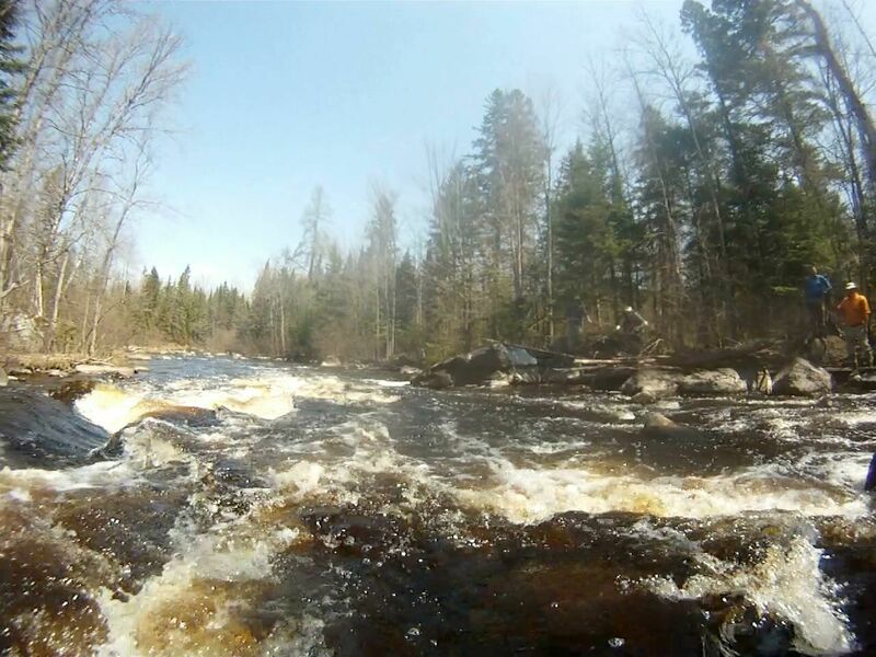
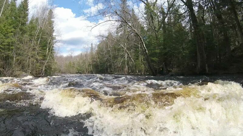
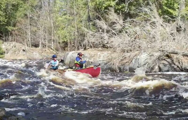
Myers Falls is a class-3, fast, 60-foot run, descending 13 feet across 3 drops. At lower runnable water levels the challenge is in hitting a tight S-shaped all fluid path. At higher runnable water levels the falls present multiple paths through intense hydraulic action. Signs mark both a high-water and a low-water takeout, on river-right. There is a well-established river-right (southside) portage or scouting trail that makes rerunning of the falls quite doable. The south side access Road (Price Lake Rd.) from Hwy 101 can be taken to a parking lot (45.898791, -88.433479) at Myers Falls that works well for either a day of just rerunning Myers Falls, running Myers to Bull Falls, or doing a trip from Myers to Rochon or 101 takeouts. For downriver trips from Chipmunk rapids use the northside access road (Goodman Grade) from Hwy 70 to bring you to parking lots near Myers (45.900171, -88.437198), Goodman Grade, or Bull Falls. The river-left (northside) takeout for Myers Falls is right at the end of the falls. Caution: Downriver from the terminal pool of Myers Falls, the river divides into multiple channels where blockage from down trees is common. Proceed with caution and be prepared to backtrack if a chosen channel is blocked.
Location
Other Rapids on This Run (8)
Current Conditions
5-Day Forecast
American Whitewater