Gauge Conditions
Data from American Whitewater & USGS
Photo
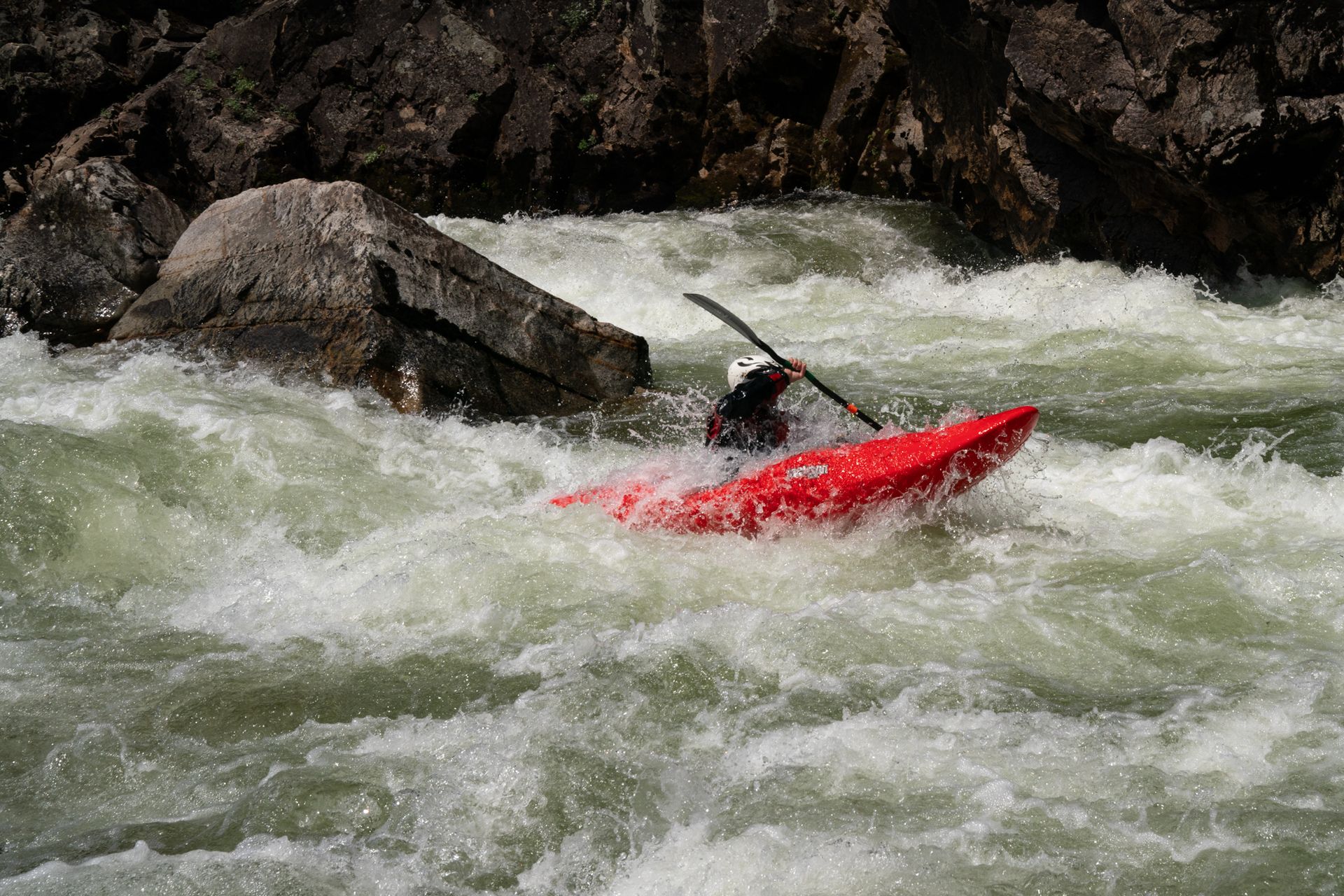
Photo courtesy of American Whitewater
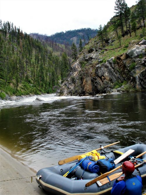
Description
The North Fork Boat Ramp Take Out marks the end of a challenging section of the Salmon River, providing a critical exit point for boaters after navigating the East Fork. While not a technical rapid itself, this take-out requires careful maneuvering and awareness of potential river conditions, with paddlers needing to watch for potential shallow areas, submerged rocks, and swift currents when approaching the boat ramp.
Location
Other Rapids on This Run (1)
View Full Run
4 - E. Fork of Salmon to Town of North Fork
Salmon
II
110.0 mi
Current Conditions
5-Day Forecast
Whitewater data from
American Whitewater
American Whitewater