Gauge Conditions
Runnable: ? – ? CFS
Approximate - nearest available gauge. Use as general reference only.
Data from American Whitewater & USGS
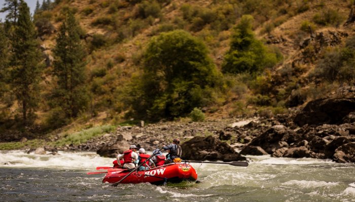
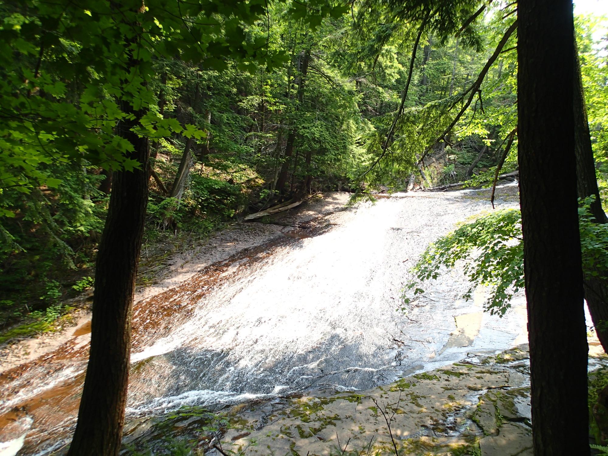
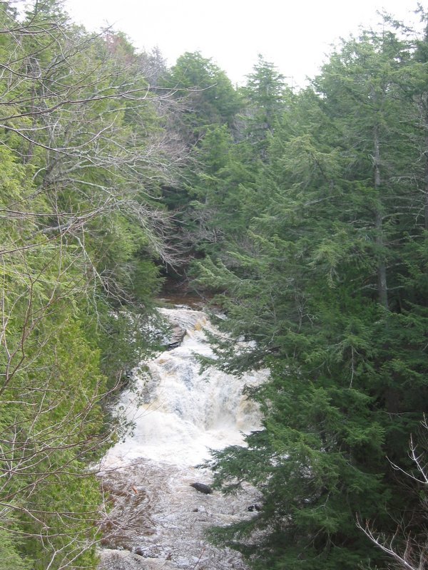
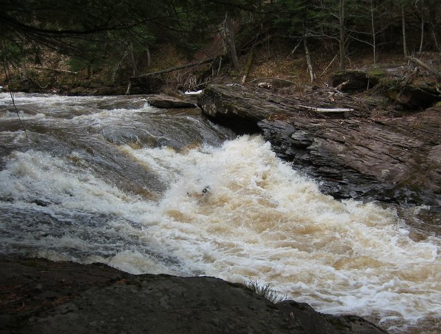
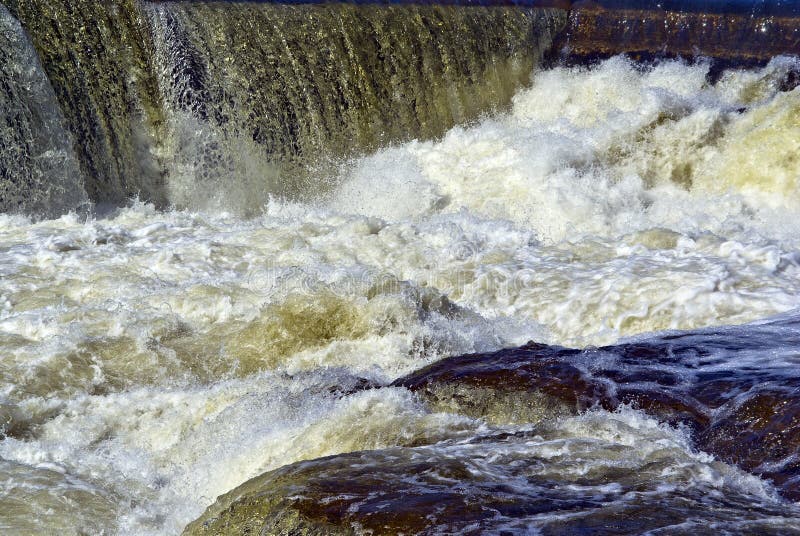
Photo
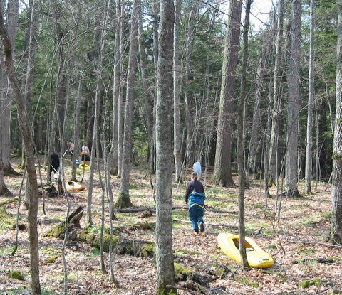
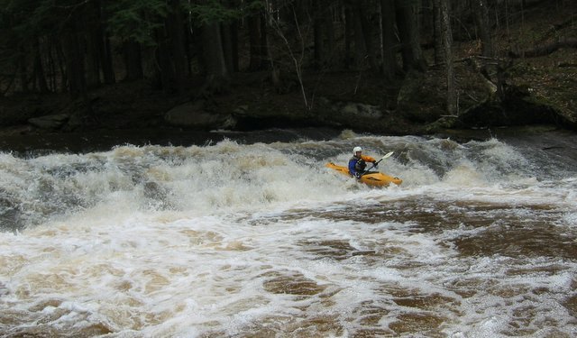
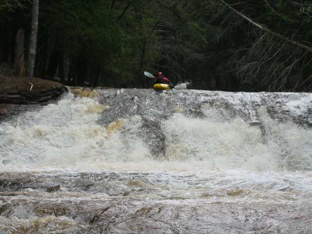
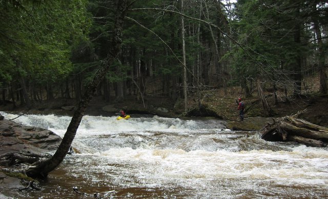
Photo courtesy of American Whitewater
Description
Since this may be (as likely as not) done by hiking upstream from the mouth, until one encounters too many logs blocking the river, and that starting point may thus change, we are measuring all features from the only real fixed point, the mouth of the river.
The feature list presented here is solely derived from satellite views and other online sources, thus may not be complete or accurate portrayal of what you'll find.
Location
View Full Run
above Shining Cloud Falls to Lake Superior (1.7 miles)
Carp (Porkies)
IV(V)
1.7 mi
Current Conditions
5-Day Forecast
Whitewater data from
American Whitewater
American Whitewater