Take-out
WA
Pehsastin Creek Confluence, Take Out
Ingalls Creek - Ingalls Creek Rd. to Peshastin Creek (WA)
Gauge Conditions
Runnable: ? – ? CFS
Approximate - nearest available gauge. Use as general reference only.
Data from American Whitewater & USGS
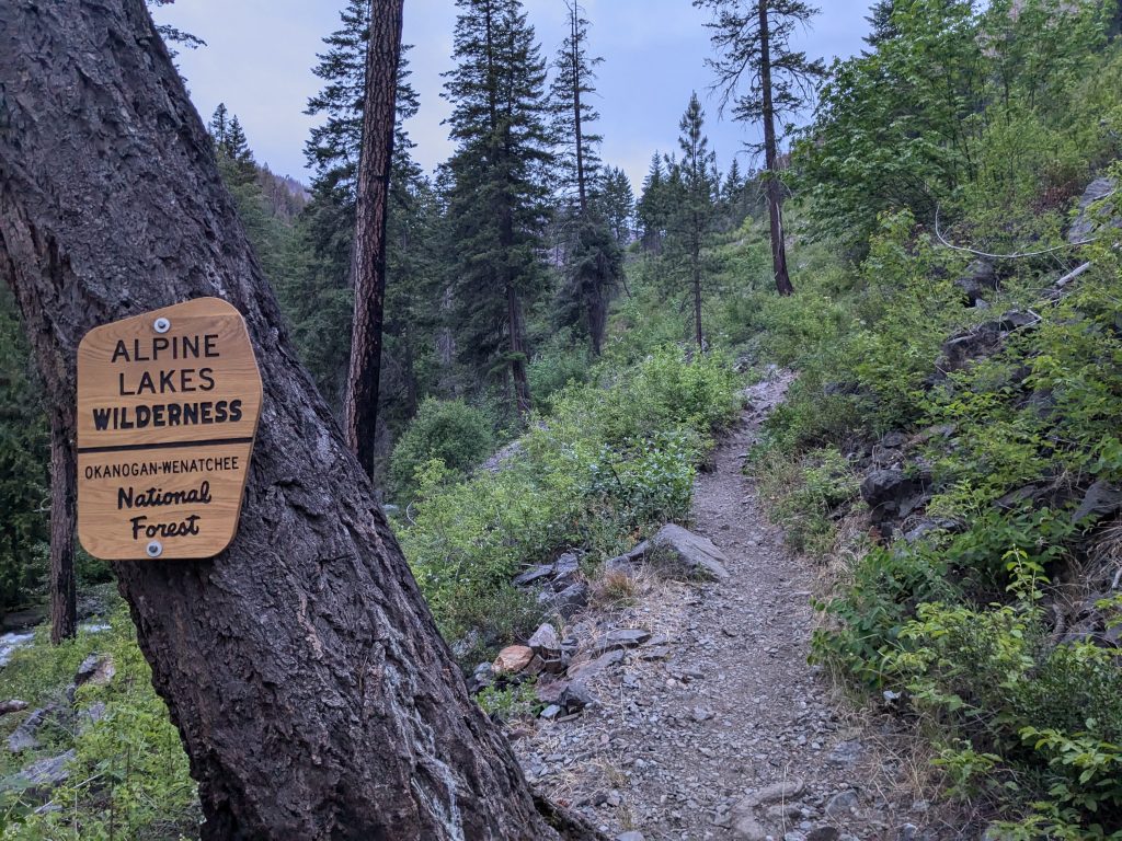
Photo
Photo courtesy of American Whitewater
Description
You can take-out here but most continue on downstream to Peshastin Creek. This access is at Highway 97 mile 177.2 at the downstream end of a large pull-out where you will also see a sign for the Wenatchee National Forest.
Location
Other Rapids on This Run (1)
View Full Run
Ingalls Creek Rd. to Peshastin Creek
Ingalls Creek
IV
0.6 mi
Current Conditions
5-Day Forecast
Whitewater data from
American Whitewater
American Whitewater