Put-in
CO
Put In
Saint Vrain Creek, South - 01. Ceran St. Vrain TH to Middle St Vrain Confluence (CO)
Gauge Conditions
Runnable: ? – ? CFS
Approximate - nearest available gauge. Use as general reference only.
Data from American Whitewater & USGS
Photo
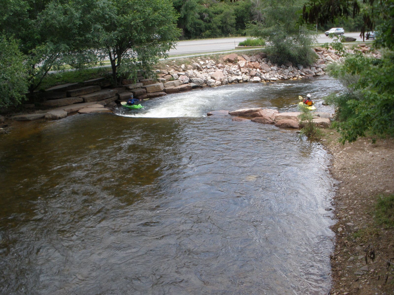
Photo courtesy of American Whitewater
Description
The Put In rapid marks the start of the Saint Vrain Creek run, providing paddlers with an initial assessment of the river's character and flow conditions. While specifics are limited due to the N/A difficulty rating, careful navigation and situational awareness are recommended when entering the waterway, with attention to potential obstacles near the put-in point and initial water dynamics.
Location
Other Rapids on This Run (1)

View Full Run
01. Ceran St. Vrain TH to Middle St Vrain Confluence
Saint Vrain Creek, South
V+
6.0 mi
Current Conditions
5-Day Forecast
Whitewater data from
American Whitewater
American Whitewater