Put-in
MO
Put In
St. Francis - 1. Highway H bridge one mile west of Syenite to Highway 72 bridge (10.7 miles) (MO)
Gauge Conditions
Runnable: 3.5 – 10.0 FT
Too low for reasonable whitewater trip. (Do you have info on these flows? Add a comment or report!)
Data from American Whitewater & USGS
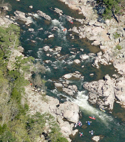
Photo
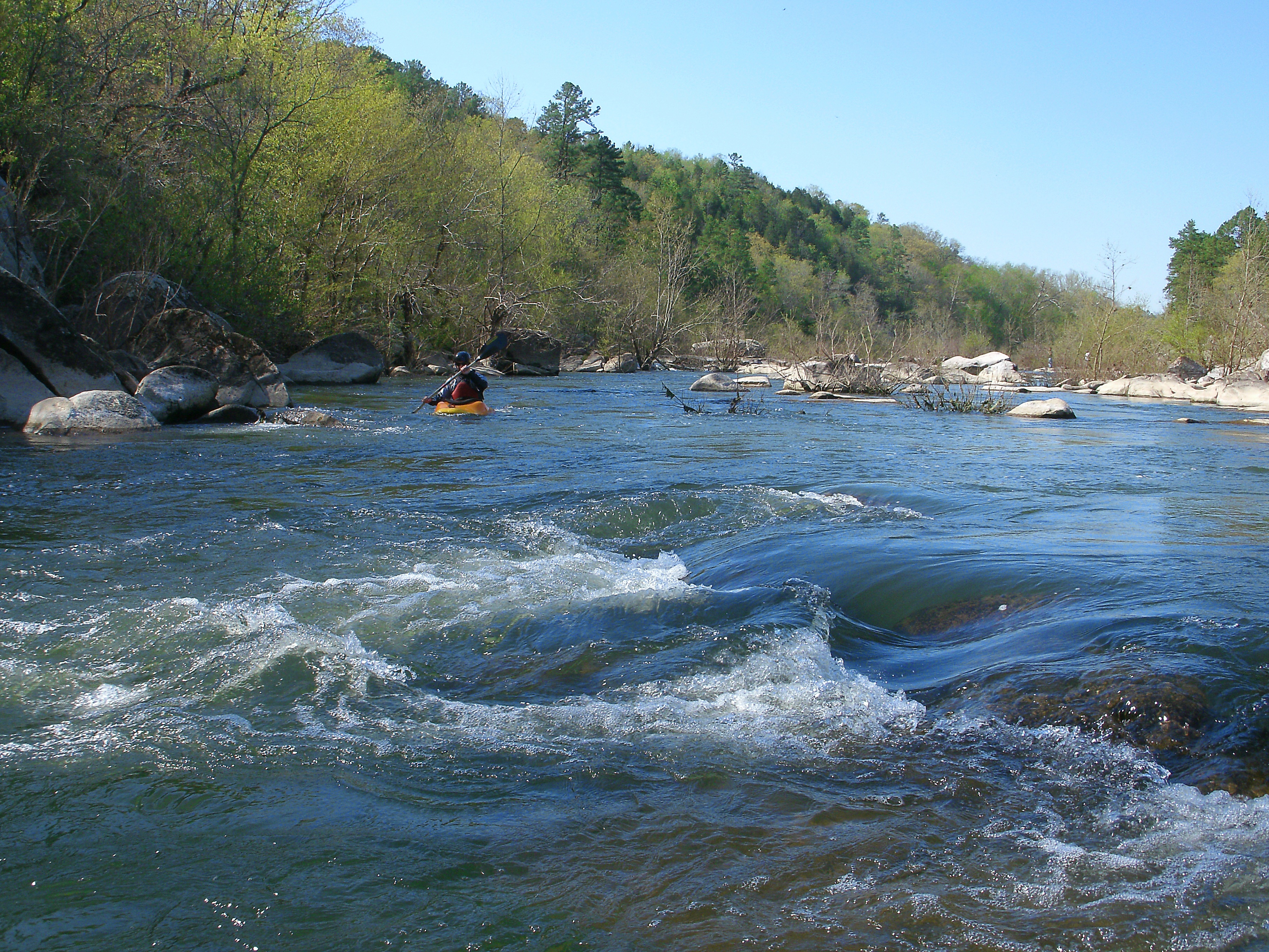
Photo courtesy of American Whitewater
Description
Put In rapid marks the initial entry point for this section of the St. Francis River, offering paddlers an immediate introduction to the river's character. While specific details are limited, the rapid likely presents initial navigational challenges that set the tone for the downstream journey, with potential hazards related to river entry and initial flow conditions.
Location
Other Rapids on This Run (1)
View Full Run
1. Highway H bridge one mile west of Syenite to Highway 72 bridge (10.7 miles)
St. Francis
I-II
11.1 mi
Current Conditions
5-Day Forecast
Whitewater data from
American Whitewater
American Whitewater