Gauge Conditions
Data from American Whitewater & USGS
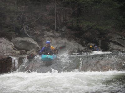
Photo
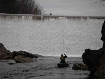
Photo courtesy of American Whitewater
Description
Put in at the Campton Dam at the street light a the intersection of NH rte 49 and NH rte 175. The best spot to carry down is river left just downstream of the dam and rte 175 bridge. Note that during low water much of the water is diverted form the dam through a penstock under rte 175 and re-enters the river at a micro hydro station about 500 ft downstream of the dam. If clear laminer flow continues 1/3 of the way, or greater, down the face of the dam then there should be enough water for the first couple rapids (i.e. upper and Lower Big Pine). Anything less will be a scratchy run at best.
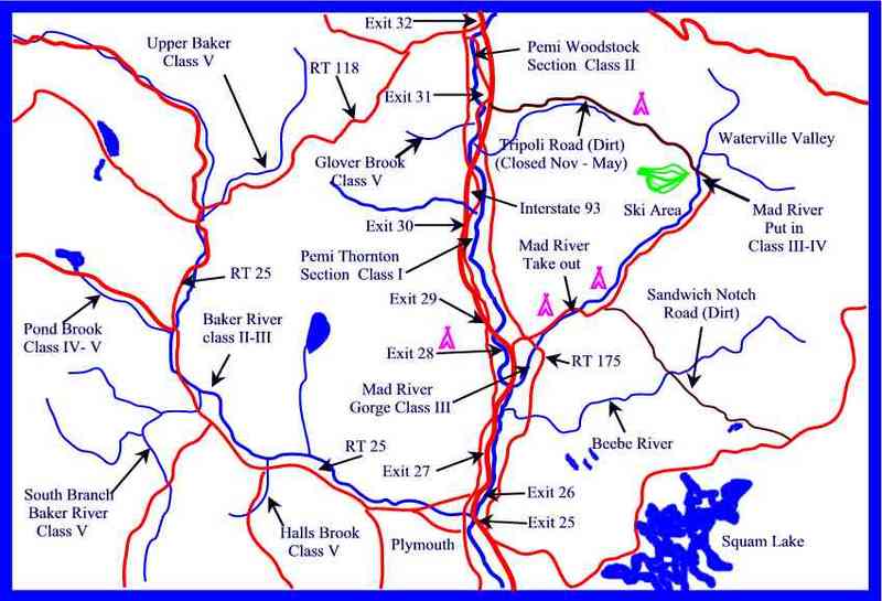
Location
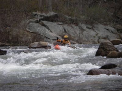
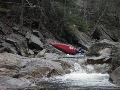
Other Rapids on This Run (5)
View Full Run
2. Gorge
Mad River
III
1.0 mi
Current Conditions
5-Day Forecast
Whitewater data from
American Whitewater
American Whitewater