Put-in
AR
Put In
Cadron Creek - 2) Pinnacle Gap Run: Pinnacle Springs to Highway 65 (4.5 miles) (AR)
Gauge Conditions
Data from American Whitewater & USGS
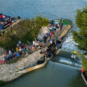
Photo

Photo courtesy of American Whitewater
Description
Put In rapid marks the entry point for the Pinnacle Gap Run on Cadron Creek, offering paddlers an initial navigation challenge through a narrow constriction with potential rock obstacles. While specific difficulty ratings are unclear, boaters should carefully scout the entry and be prepared for potential tight maneuvering and potential impact points near the starting section.
Location
Other Rapids on This Run (2)

View Full Run
2) Pinnacle Gap Run: Pinnacle Springs to Highway 65 (4.5 miles)
Cadron Creek
I-II
6.3 mi
Current Conditions
5-Day Forecast
Whitewater data from
American Whitewater
American Whitewater