Gauge Conditions
Runnable: ? – ? CFS
Approximate - nearest available gauge. Use as general reference only.
Data from American Whitewater & USGS
Photo

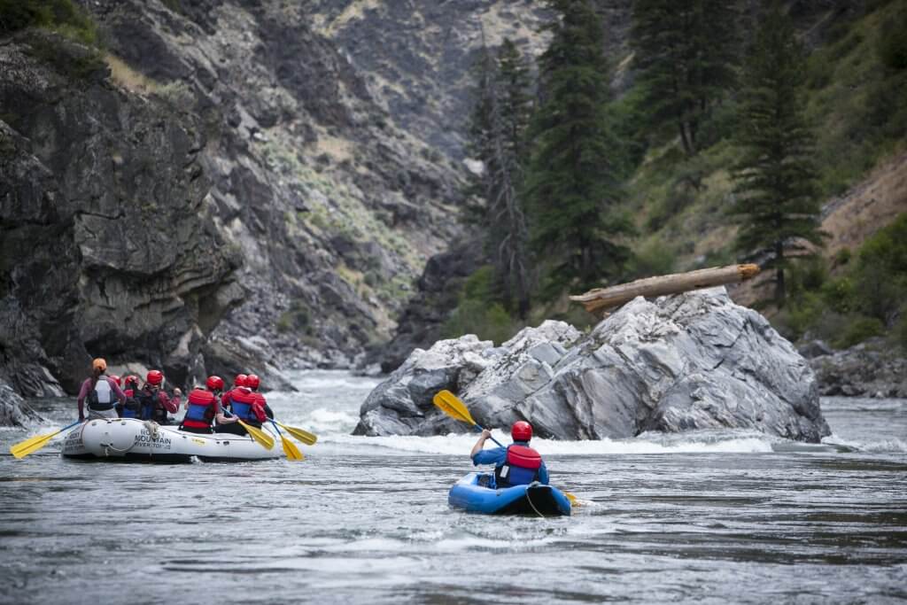
Photo courtesy of American Whitewater
Description
The Put In rapid on Grimes Creek appears to be a minimally documented section with limited beta available. Limited information suggests this is likely a remote, potentially technical stretch that would require careful scouting and local knowledge due to potential debris, hidden rocks, and uncertain water levels.
Location
Other Rapids on This Run (1)
View Full Run
4 miles upstream of Highway 21 to Mores Creek confluence
Grimes Creek
II-III
4.8 mi
Current Conditions
5-Day Forecast
Whitewater data from
American Whitewater
American Whitewater