Gauge Conditions
Runnable: ? – ? CFS
Approximate - nearest available gauge. Use as general reference only.
Data from American Whitewater & USGS
CDEC Flow Data California
Data from California Data Exchange Center (CDEC)
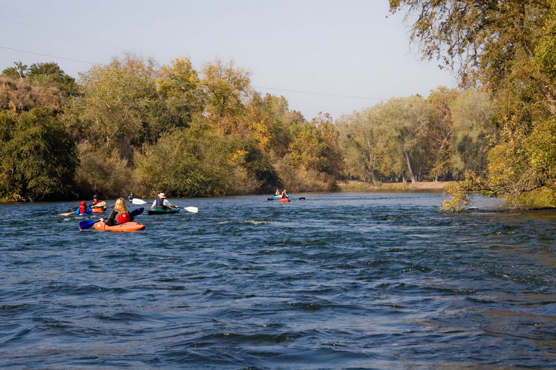
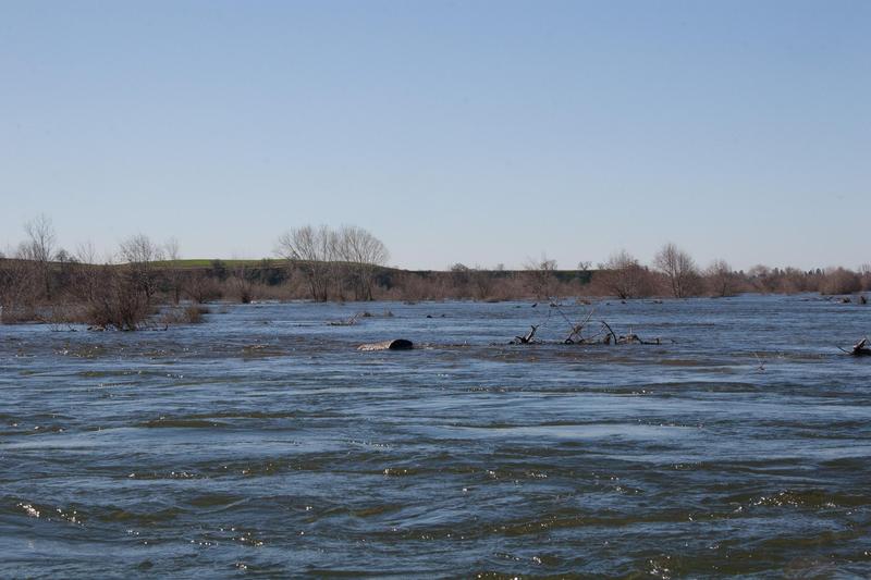
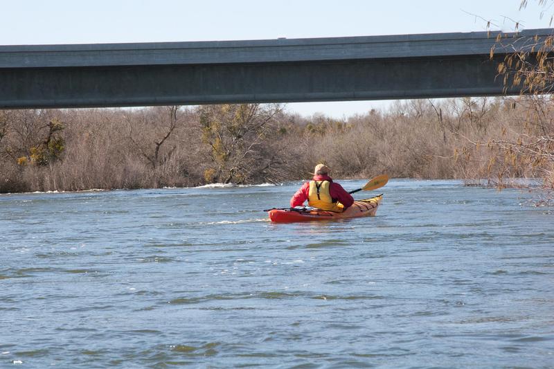
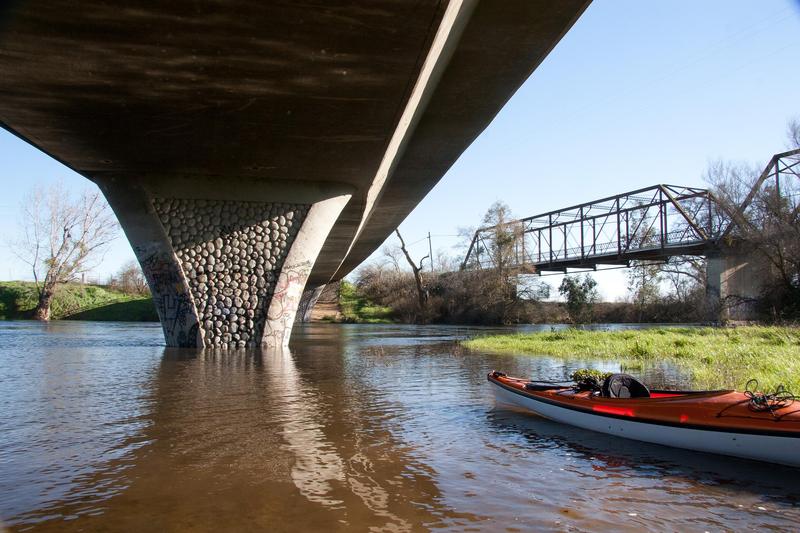
Photo
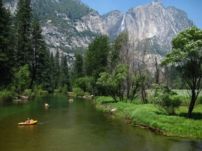
Photo courtesy of American Whitewater
Description
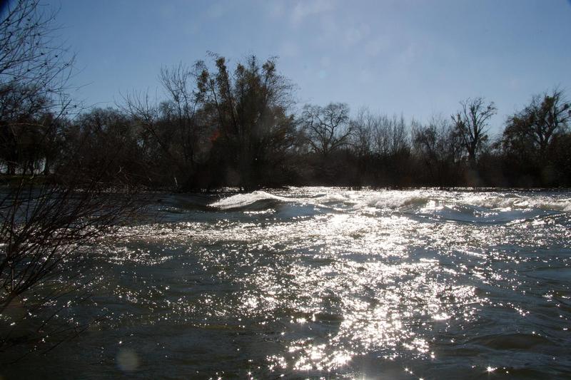
Put In is the initial access point for the lower Merced River section, offering boaters a launch location with minimal technical challenges. While specific rapid characteristics are not well-documented for this location, paddlers should assess local water levels and potential hazards at the river entry point, maintaining standard whitewater safety protocols during put-in.
Location
Other Rapids on This Run (17)
Rapid
N/A
Put in and largest rapid
 Rapid
N/A
Rapid
N/A
Henderson Park
Rapid
N/A
Snelling access
Rapid
N/A
Snelling Road bridge
 Rapid
N/A
Rapid
N/A
Start of Restoration Area
 Rapid
N/A
Rapid
N/A
J59 Bridge
Rapid
N/A
Bridge (private)
Rapid
N/A
Big Island split
Rapid
N/A
Weir
 Playspot
N/A
Playspot
N/A
Bridge, then weir
 Rapid
N/A
Rapid
N/A
Oakdale Road Bridge
Rapid
N/A
Road 37 / Railroad trestle
Rapid
N/A
McConnell Park
Rapid
N/A
Highway 99 bridge
Rapid
N/A
Hagaman Park
Rapid
N/A
George Hatfield State Rec Area
Rapid
N/A
San Joaquin River Confluence
View Full Run
8) Snelling diversion to San Joaquin confluence
Merced
I(II)
51.7 mi
Current Conditions
5-Day Forecast
Whitewater data from
American Whitewater
American Whitewater