Put-in
MD
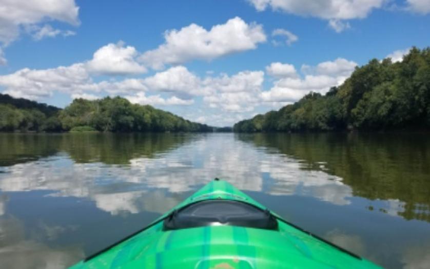
Put In - Avilton Lonaconing Road
Savage - 1. Avilton Lonaconing Road to Head of Savage Reservoir (MD)
Gauge Conditions
Data from American Whitewater & USGS
Description
Put-in - Avilton Lonaconing Road
Location
Other Rapids on This Run (2)
View Full Run
1. Avilton Lonaconing Road to Head of Savage Reservoir
Savage
I-III(IV)
12.5 mi
Current Conditions
5-Day Forecast
Whitewater data from
American Whitewater
American Whitewater