Gauge Conditions
Runnable: 150.0 – 600.0 CFS
Likely too low for reasonable whitewater trip. (New gauge! We need your input to establish/refine best flows! Add a comment or report.)
Data from American Whitewater & USGS
Photo
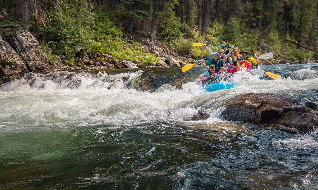
Photo courtesy of American Whitewater
Description
Put In rapid serves as the entry point for this section of Tyler Forks, presenting paddlers with an initial challenge of navigating a tight, technical entry with potential for rock dodging. While specific difficulty is unclear, the rapid likely requires precise boat positioning and careful route selection through the initial river constriction. Paddlers should scout the rapid carefully and be prepared for potential obstacles or unexpected hydraulics at the put-in.
Location
Other Rapids on This Run (1)
View Full Run
B) Gehrman Creek (Hwy.169) to Brownstone Falls (1.8 miles)
Tyler Forks
II-IV
1.9 mi
Current Conditions
5-Day Forecast
Whitewater data from
American Whitewater
American Whitewater