Gauge Conditions
Runnable: 4.5 – 12.0 FT
Help us out! Add a comment about runnable levels!
Data from American Whitewater & USGS
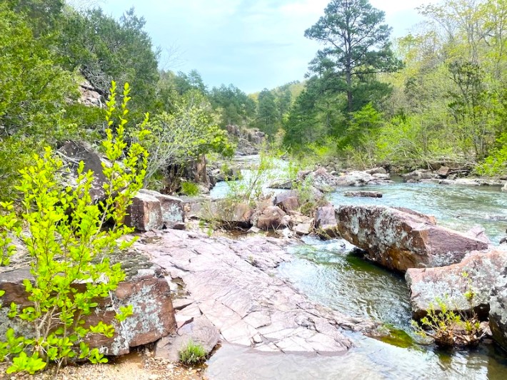
Photo
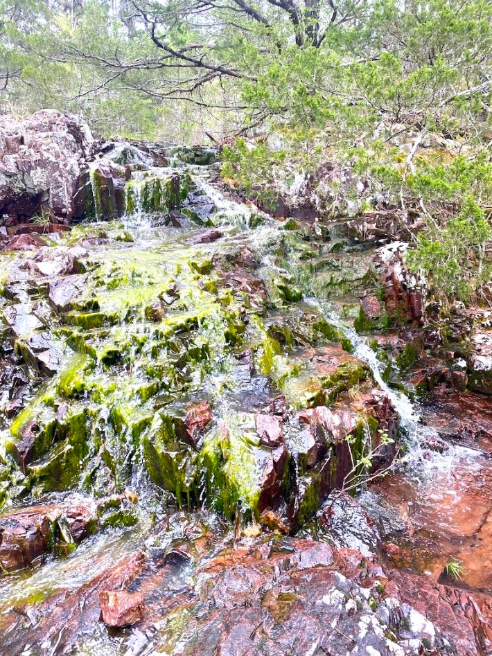
Photo courtesy of American Whitewater
Description
Put In rapid on Lower Rock Creek presents an unranked but potentially technical navigation through a constricted channel with scattered boulder formations. Paddlers should be prepared for potential rock dodging and reading water on the fly, with particular attention to entry angles and potential pinning hazards in the narrower sections.
Location
Other Rapids on This Run (1)
View Full Run
Barren Hollow (south of Highway D) to Highway E (3 miles)
Lower Rock Creek
IV
3.2 mi
Current Conditions
5-Day Forecast
Whitewater data from
American Whitewater
American Whitewater