How's Your
River
×
Explore
Explore Map
Water Bodies
Gauges
Access Sites
Tidal Stations
Whitewater
Pricing
Login
Sign Up
Hazard Warning:
Hazard information may be user-submitted and unverified. Conditions change frequently. Always scout rapids and obstacles yourself.
Whitewater
Virginia
Briery Branch - Briery Branch Dam to North R.
Put In
Put-in
VA
Put In
Briery Branch - Briery Branch Dam to North R. (VA)
Monitor this Rapid
Water Body
This Run
Map
Other Rapids
Gauge
Weather
Directions
Gauge Conditions
North River near Stokesville, VA
Upstream
Primary
Runnable: 100.0 – 2,000.0 CFS
Data from
American Whitewater
&
USGS
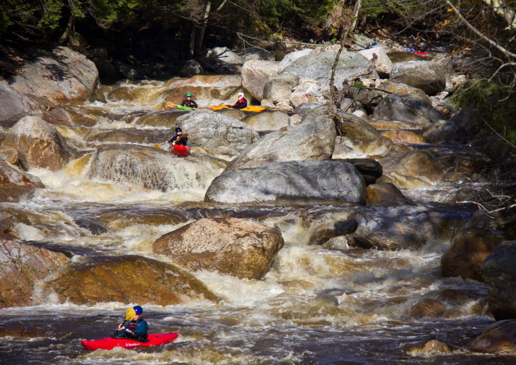
Photo
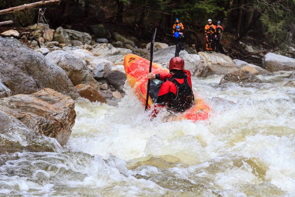
Photo courtesy of
American Whitewater
Description
Put In is the starting point for this section, characterized by a relatively calm entry below the dam. Paddlers should be aware of potential debris and water release schedules, and carefully scout the initial downstream conditions before launching.
Location
Radar
Counties
Cell
Verizon
AT&T
T-Mobile
Dark
Satellite
Terrain
Other Rapids on This Run (1)
Rapid
N/A
Take Out
10.5 mi
Type
Put-in
Difficulty
Class N/A
Mile Marker
0.0 mi
Directions
Navigate
View Full Run
Briery Branch Dam to North R.
Briery Branch
I-III
10.5 mi
Current Conditions
5-Day Forecast
Whitewater data from
American Whitewater
Put In