Gauge Conditions
Data from American Whitewater & USGS
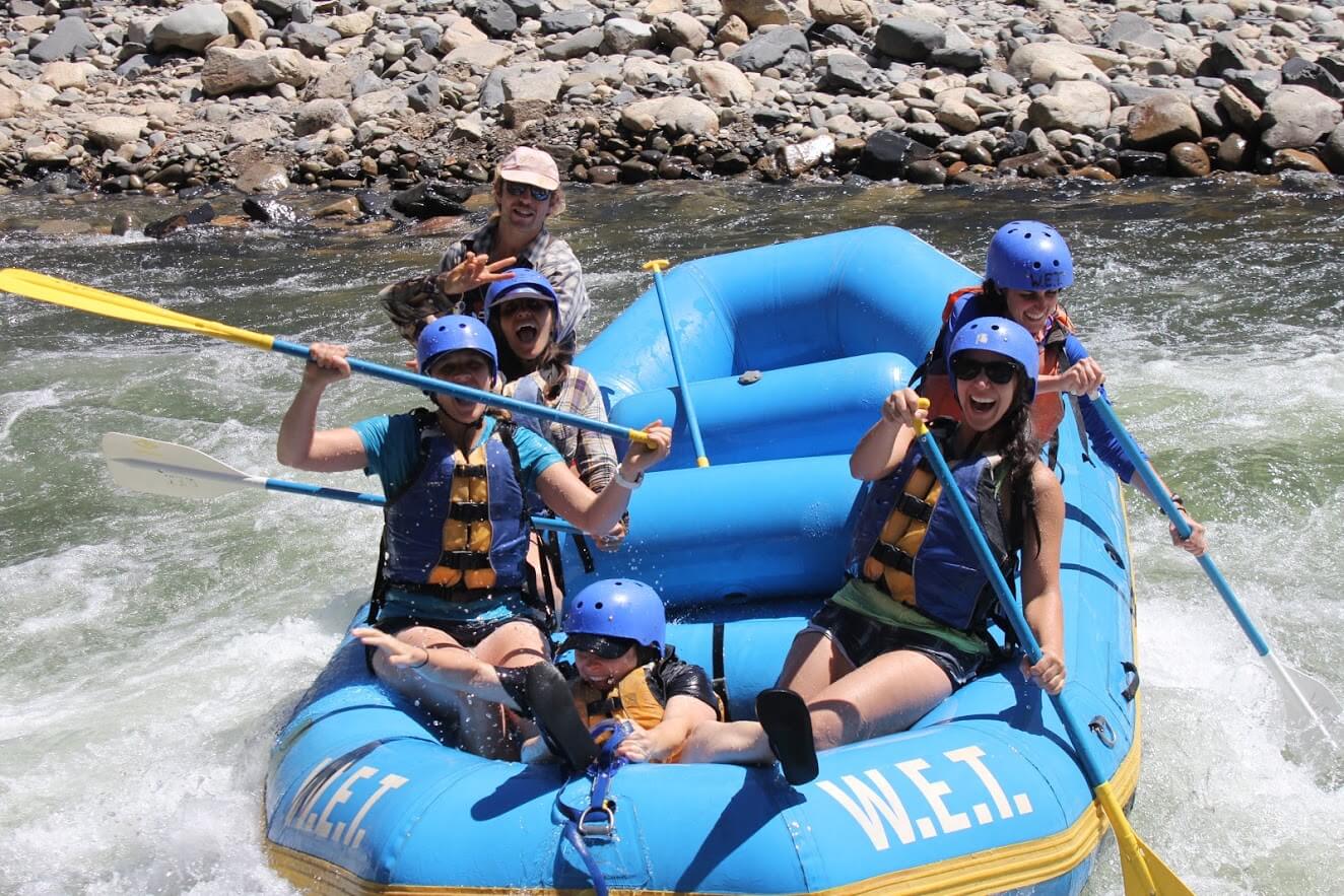
Photo
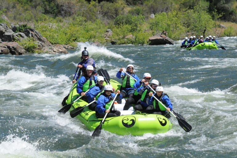
Photo courtesy of American Whitewater
Description
There are several put-ins. One is located right past the Drowning Ford bridge on Route 58 going towards Damascus. Take 58 towards Damascus. You will go down a hill for a good distance and then the road will go to the right around the side of a mountain. There is a road on the right just after you cross the bridge. Take a right and you will see an area that is safe to park your car. You can carry boats down to the river, across the Creaper Trail, and hop right into the river. Be ready as soon as you enter the water because one of the major rapids (Drowning Ford) of the river is just downstream. Other Put-Ins are along Drowning Ford Road.
Location
Other Rapids on This Run (1)
View Full Run
Damascus to Alvarado
Holston, South Fork
II(III)
3.8 mi
Current Conditions
5-Day Forecast
Whitewater data from
American Whitewater
American Whitewater