Put-in
SD
Put In
French Creek - East boundary Custer State Park to SD 79 or Stockade Reservoir (22 miles) (SD)
Gauge Conditions
Runnable: ? – ? CFS
Approximate - nearest available gauge. Use as general reference only.
Data from American Whitewater & USGS
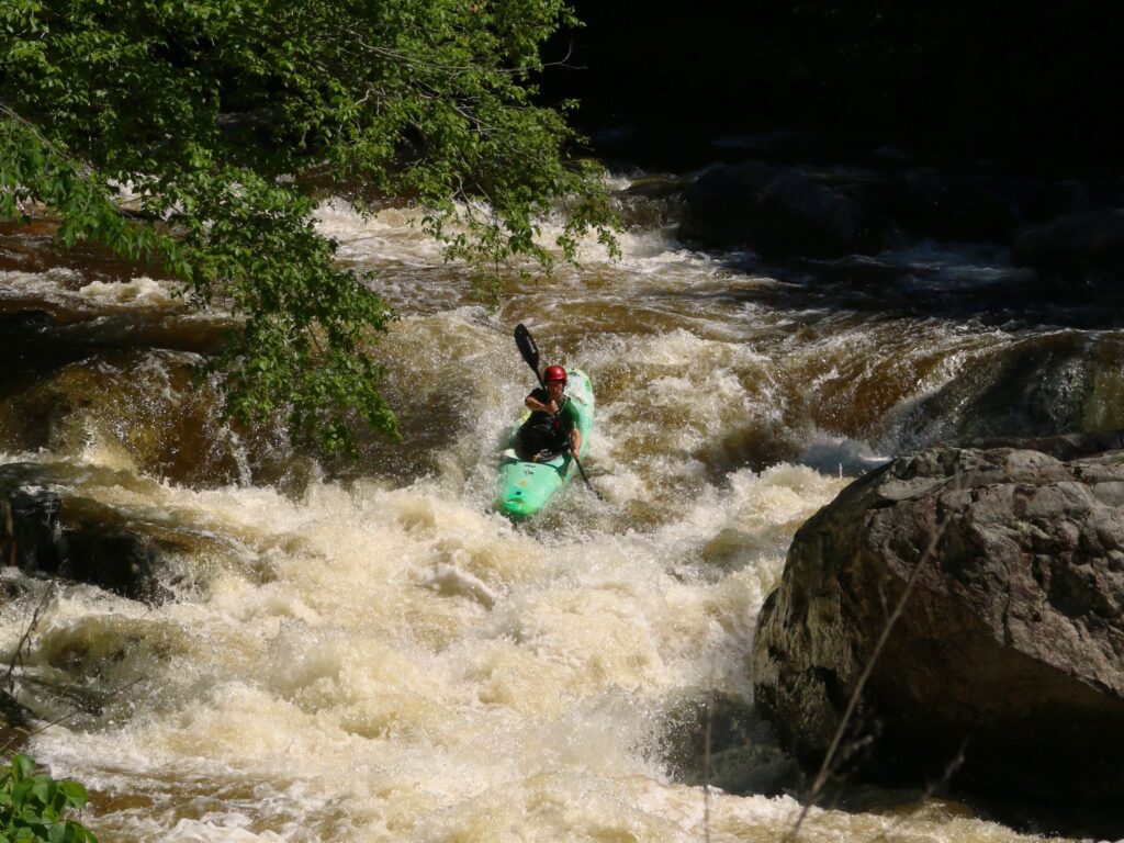
Photo
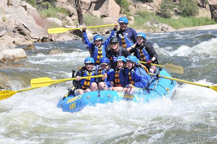
Photo courtesy of American Whitewater
Description
Put In is the initial launch point for the French Creek descent through Custer State Park, offering paddlers an entry into a remote wilderness stretch with potential rocky and technical navigation. While specific rapid characteristics are not well-documented, paddlers should expect potential shallow sections, tight turns, and the need for precise boat placement among potential boulder gardens typical of mountain creek environments.
Location

View Full Run
East boundary Custer State Park to SD 79 or Stockade Reservoir (22 miles)
French Creek
II-IV+(V)
23.2 mi
Current Conditions
5-Day Forecast
Whitewater data from
American Whitewater
American Whitewater