Gauge Conditions
Runnable: ? – ? CFS
Approximate - nearest available gauge. Use as general reference only.
Data from American Whitewater & USGS
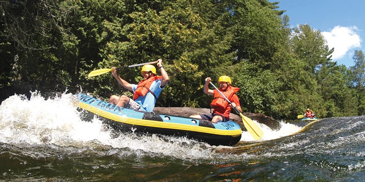
Photo

Photo courtesy of American Whitewater
Description
Put In rapid presents minimal technical challenges with a straightforward entry point for paddlers accessing the Net River. The rapid offers an open approach without significant obstacles, making it a standard launch location for the section between Fishing Site #1 Road and the unnamed road/campground.
Location
Other Rapids on This Run (13)
Rapid
N/A
USGS sampling site, W.Br.
Rapid
N/A
USGS sampling site
Rapid
I
First Narrows
Rapid
II
Second Narrows
Rapid
I
Third Narrows
Rapid
II
Fourth Narrows
Rapid
II+
Fifth Narrows / Chipmunk Falls
Rapid
N/A
NOT Chipmunk Falls
Rapid
I
Net River Road
 Rapid
N/A
Rapid
N/A
Net River Road
Rapid
I
"Snake Rapids"
Rapid
II
Snake Rapids (really)
 Rapid
N/A
Rapid
N/A
Take Out
View Full Run
Fishing Site #1 Road to unnamed road/campground (6.85 miles)
Net
I-II
7.1 mi
Current Conditions
5-Day Forecast
Whitewater data from
American Whitewater
American Whitewater