Gauge Conditions
Data from American Whitewater & USGS
Photo
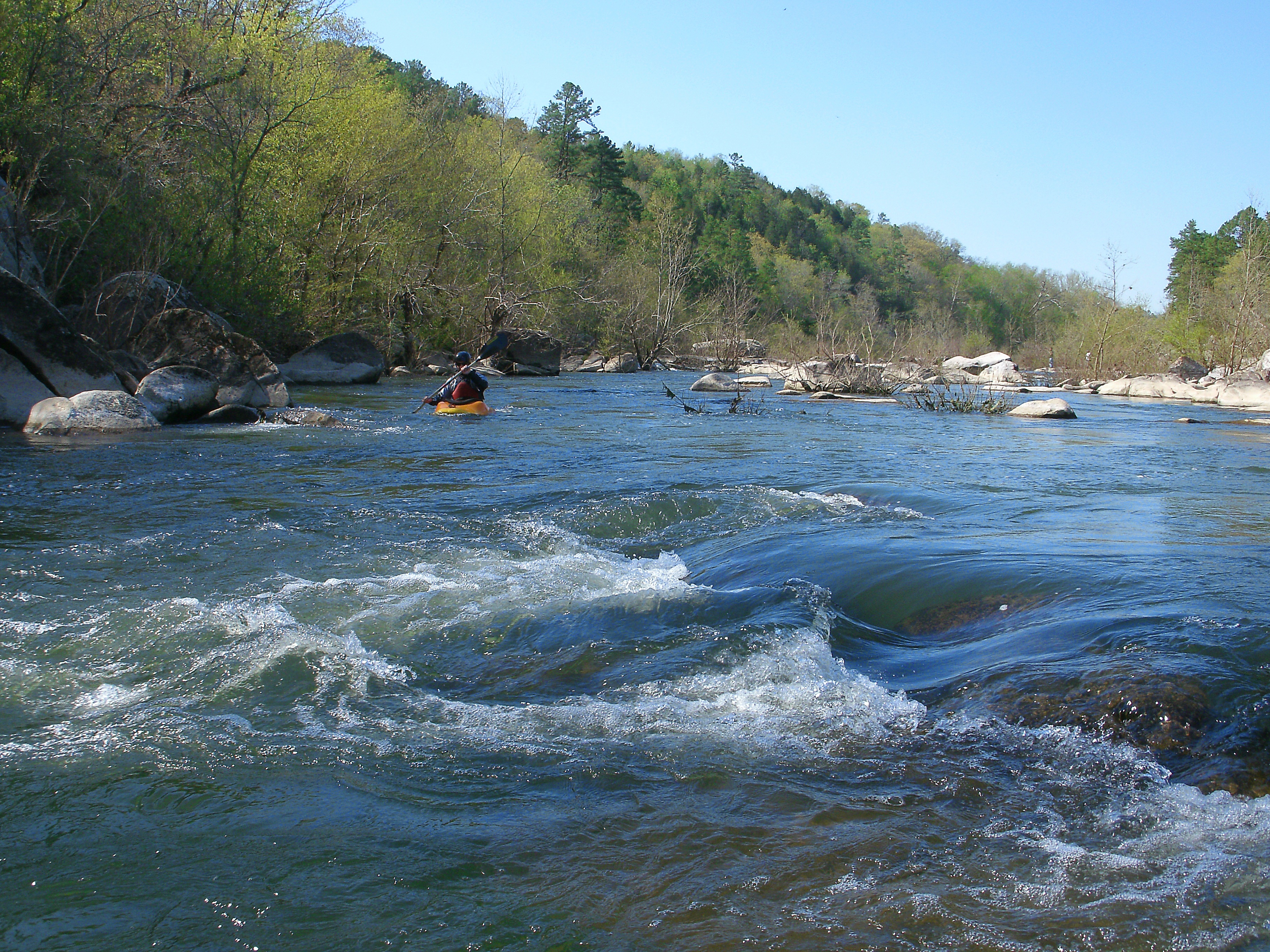
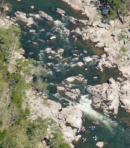
Photo courtesy of American Whitewater
Description
Put In rapid marks the starting point for this challenging run, offering paddlers an immediate entry into the river's complex hydraulics. The rapid presents multiple potential lines through a boulder-strewn channel, requiring precise boat positioning and reading water on the fly. Careful scouting is recommended, as initial water levels can significantly impact route selection and potential hazards.
Location
Other Rapids on This Run (1)
View Full Run
Highway 72 to St. Francis River (15 miles)
Little St. Francis
I-II
18.9 mi
Current Conditions
5-Day Forecast
Whitewater data from
American Whitewater
American Whitewater