Gauge Conditions
Runnable: ? – ? CFS
Approximate - nearest available gauge. Use as general reference only.
Data from American Whitewater & USGS
Photo
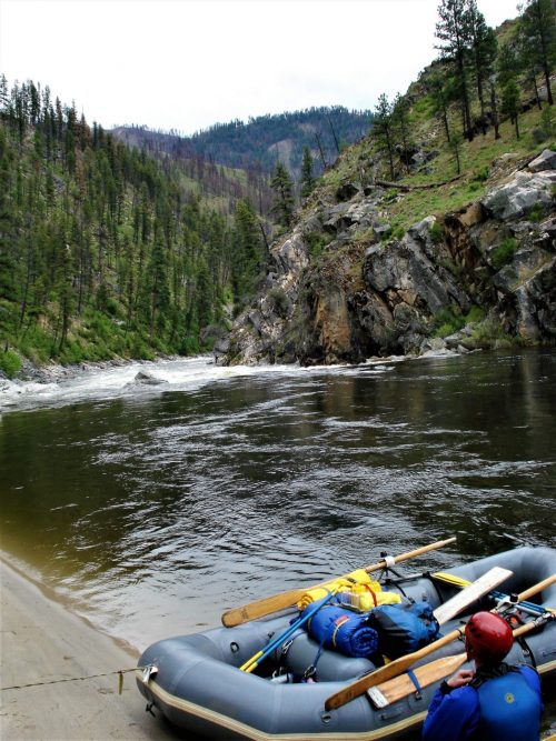
Photo courtesy of American Whitewater
Description
The Put In rapid marks the starting point for this section of the Gallatin's South Fork West Fork, offering paddlers an immediate entry into the river's flow. While specific details are limited, the rapid likely features initial navigational challenges typical of river put-in zones, potentially with mixed water conditions and potential obstacles near the launch area. Paddlers should exercise standard caution when entering the water and assess local conditions before proceeding.
Location
Other Rapids on This Run (1)

View Full Run
Ousel Falls to .75 miles downstream
Gallatin, South Fork West Fork
IV-V(V+)
0.9 mi
Current Conditions
5-Day Forecast
Whitewater data from
American Whitewater
American Whitewater