Gauge Conditions
Data from American Whitewater & USGS
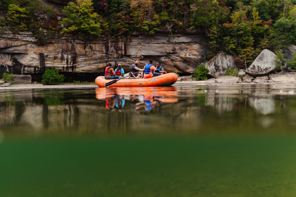
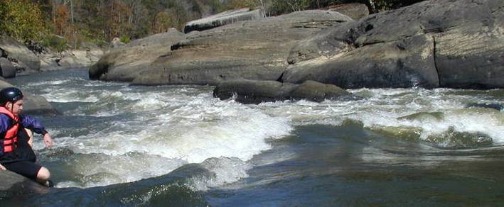
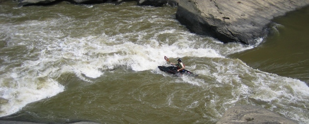
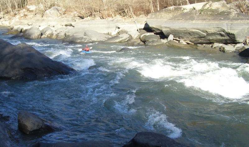
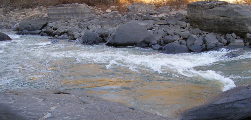
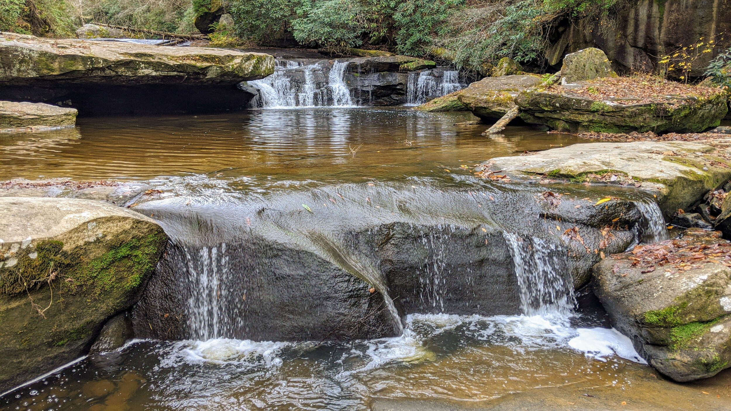
Photo
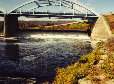
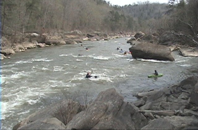
Photo courtesy of American Whitewater
Description
The put in is right below Cumberland Falls State Park. Park at the Falls parking lot and walk between the two buildings and veer right to find the upper most cobblestone path and follow it all the way down to the sandy beach.From interstate 75 exit 25 in Corbin take 25W west approx 10 miles to highway 90 and follow the signs another 6 miles to Cumberland Falls State Park. See the Cumberland Shuttle Map
Location
Other Rapids on This Run (14)
 Rapid
N/A
Rapid
N/A
Launch
 Rapid
II
Rapid
II
Initiation
 Hazard
III
Hazard
III
Center Rock
 Hazard
II+
Hazard
II+
Misery
 Hazard
II+
Hazard
II+
Bradfords Rock
 Rapid
II+
Rapid
II+
Willie Nelson's
 Hazard
II
Hazard
II
Dog Slaugter shoals
 Rapid
II+
Rapid
II+
Surfers
 Hazard
III
Hazard
III
Pinball
 Rapid
III+
Rapid
III+
Screaming Right
 Rapid
III
Rapid
III
Stairsteps
 Rapid
III+
Rapid
III+
Last Drop
 Rapid
II+
Rapid
II+
Bark Camp Creek Shoals
 Rapid
N/A
Rapid
N/A
Take-out
View Full Run
2) Cumberland Falls to Laurel River (10.5 miles)
Cumberland
III
10.4 mi
Current Conditions
5-Day Forecast
Whitewater data from
American Whitewater
American Whitewater