Gauge Conditions
Runnable: ? – ? CFS
Approximate - nearest available gauge. Use as general reference only.
Data from American Whitewater & USGS
Photo
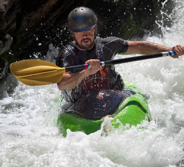
Photo courtesy of American Whitewater
Description
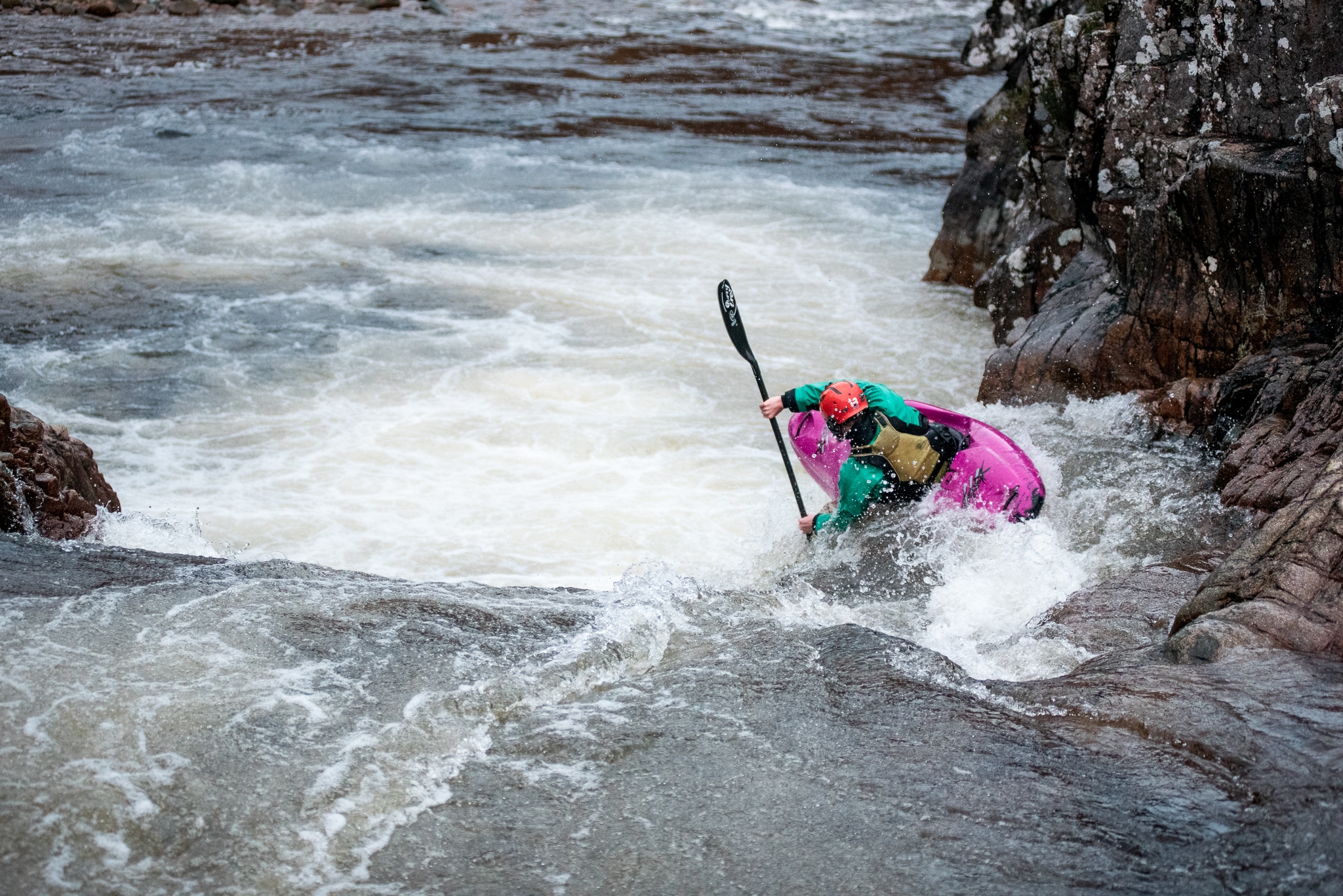
Put In rapid is the entry point for the Salt Creek run, marking the start of a challenging 2-mile stretch. Limited information is available about specific features, but paddlers should be prepared for potential obstacles and variable water conditions typical of Oklahoma creek runs. Scout the rapid carefully before putting in, as local knowledge and current water levels will significantly impact navigability.
Location
Other Rapids on This Run (1)
View Full Run
SH 18 to US Highway 60 (2 miles)
Salt Creek
I-III
2.6 mi
Current Conditions
5-Day Forecast
Whitewater data from
American Whitewater
American Whitewater