Gauge Conditions
Data from American Whitewater & USGS
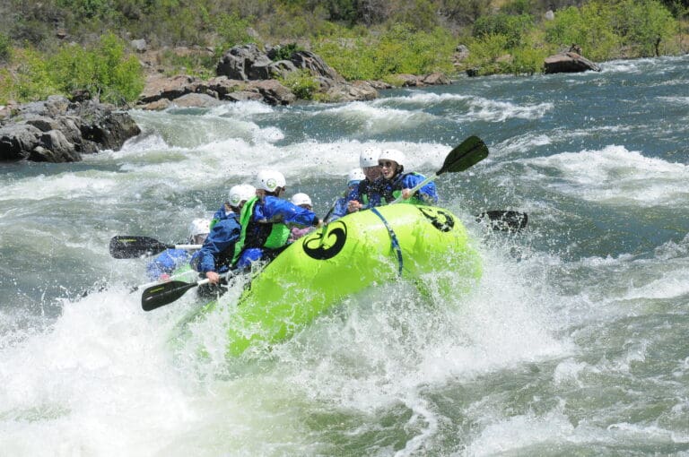
Photo
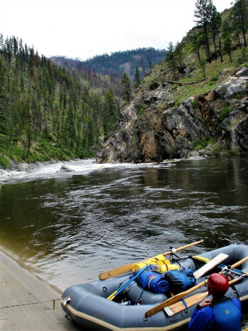
Photo courtesy of American Whitewater
Description
Put In rapid marks the starting point for the Shawsville to Roanoke River section, with an accessible entry point directly from Route 609. While specific technical details are limited, paddlers should carefully scout the initial water conditions and potential hazards near the launch area, as the rapid's characteristics can vary significantly with water levels.
Location
Other Rapids on This Run (1)
View Full Run
Shawsville (Route 609) to Roanoke River (Route 727)
Roanoke, South Fork
I-II
8.0 mi
Current Conditions
5-Day Forecast
Whitewater data from
American Whitewater
American Whitewater