Gauge Conditions
Runnable: ? – ? CFS
Approximate - nearest available gauge. Use as general reference only.
Data from American Whitewater & USGS
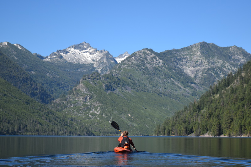
Photo
Photo courtesy of American Whitewater
Description
This section appears to lack defined rapids or notable whitewater features, serving primarily as an access point for Rock Creek in the Bitterroot Mountains. Paddlers should carefully scout the river conditions and potential hazards, as the N/A classification suggests minimal or uncertain navigability at this location.
Location
Other Rapids on This Run (2)
View Full Run
Above Lake Como
Rock Creek (Bitterroots)
IV-V(V+)
1.4 mi
Current Conditions
5-Day Forecast
Whitewater data from
American Whitewater
American Whitewater