Gauge Conditions
Data from American Whitewater & USGS
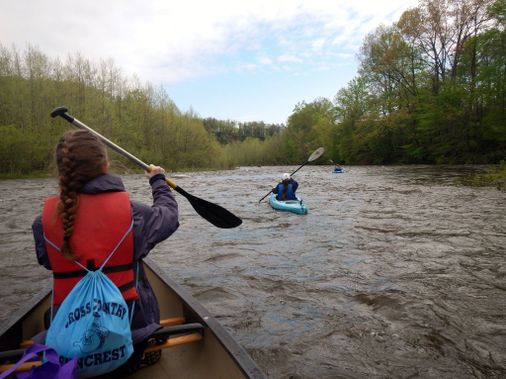
Photo
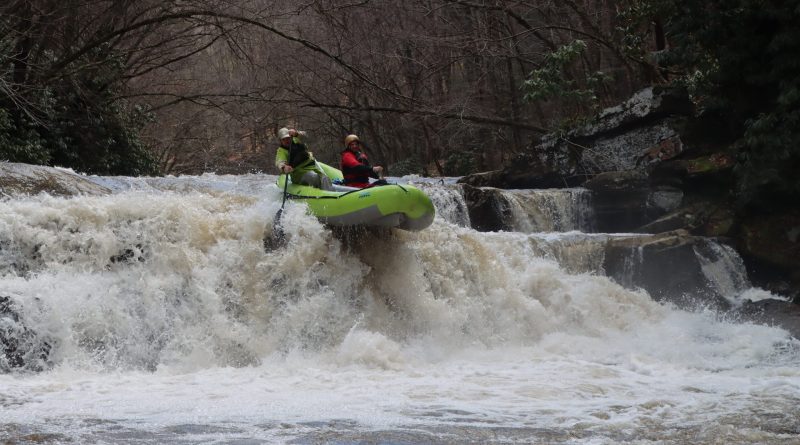
Photo courtesy of American Whitewater
Description
There is a (relatively) new bridge in place over the Laurel Fork that is a single span with no bridge piling in the water, and therefore no gauge on site. If anyone knows of a way of assessing the water level at the bridge put-in, please add it here.
Location
Other Rapids on This Run (1)
View Full Run
US 33 Bridge to Cheat, Dry Fork (Jenningston)
Cheat, Laurel Fork
III-IV
14.3 mi
Current Conditions
5-Day Forecast
Whitewater data from
American Whitewater
American Whitewater