Gauge Conditions
Runnable: 3,000.0 – 8,000.0 CFS
Can be run much higher by class V boaters
Data from American Whitewater & USGS
Photo

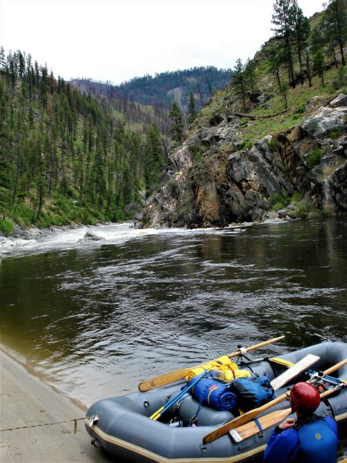
Photo courtesy of American Whitewater
Description
Put In rapid marks the beginning of the South Fork Siletz run, serving as the launch point for paddlers entering the river below Valsetz Dam. Limited information is available about specific characteristics, suggesting it may be a relatively straightforward entry point with potential for minimal technical challenges. Paddlers should scout the area and assess current conditions before putting in, as river dynamics can change with water levels and seasonal variations.
Location
Other Rapids on This Run (1)
View Full Run
Valsetz Dam Site to Confluence
Siletz, South Fork
III-IV
4.4 mi
Current Conditions
5-Day Forecast
Whitewater data from
American Whitewater
American Whitewater