How's Your
River
×
Explore
Explore Map
Water Bodies
Gauges
Access Sites
Tidal Stations
Whitewater
Pricing
Login
Sign Up
Hazard Warning:
Hazard information may be user-submitted and unverified. Conditions change frequently. Always scout rapids and obstacles yourself.
Whitewater
Georgia
Etowah - 5 - Highway 136 to Kelly Bridge Road
Railroad Road
Rapid
GA
Railroad Road
Etowah - 5 - Highway 136 to Kelly Bridge Road (GA)
Monitor this Rapid
Water Body
This Run
Map
Other Rapids
Gauge
Weather
Directions
Gauge Conditions
Etowah River at GA 9, near Dawsonville, GA
Downstream
Primary
Runnable: 100.0 – 5,000.0 CFS
Data from
American Whitewater
&
USGS
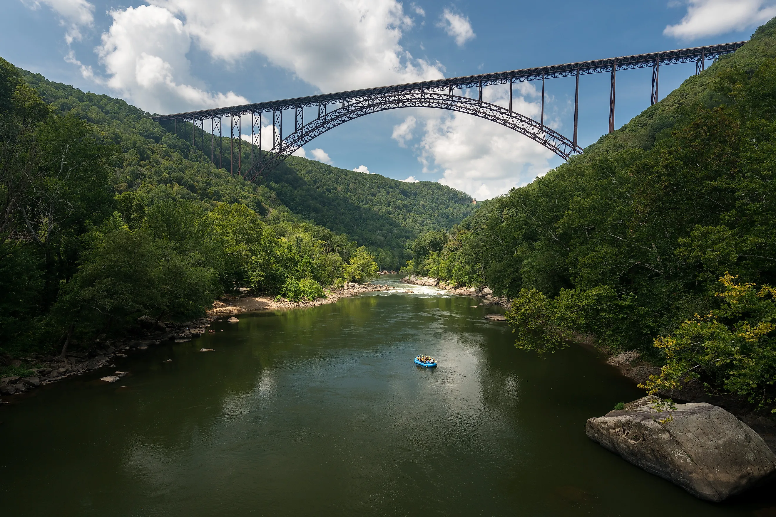
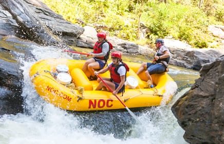
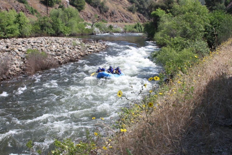
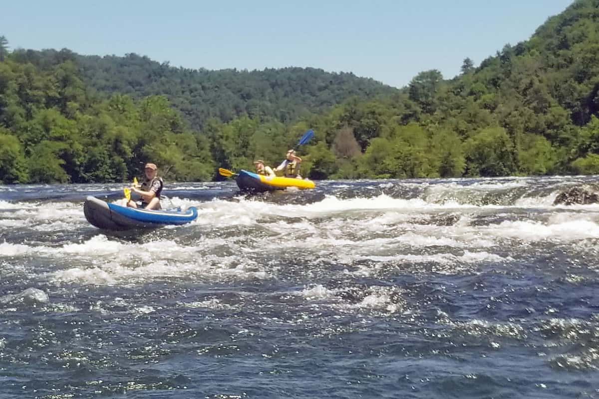
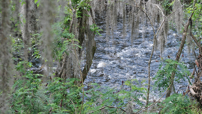
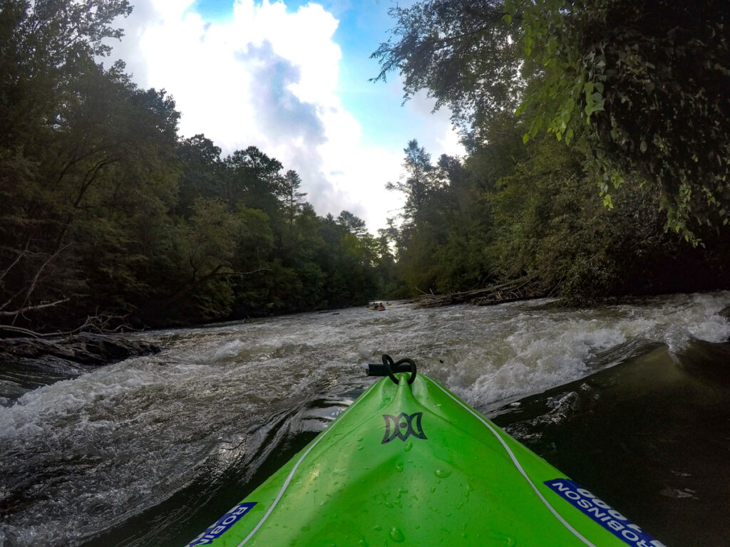
Photo
Photo courtesy of
American Whitewater
Description
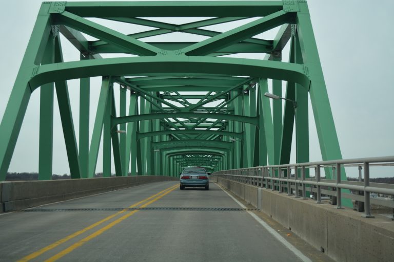
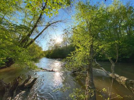
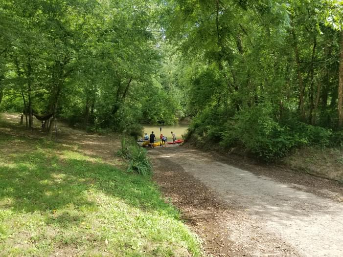
The second access within the WMA by water, the third by road. There are paths to the river on both sides of the road, but carry and put-in are easier down the path to the left.
Location
Radar
Counties
Cell
Verizon
AT&T
T-Mobile
Dark
Satellite
Terrain
Other Rapids on This Run (9)
Rapid
Highway 136 Bridge
0.0 mi
Rapid
Highway 53 Bridge
4.6 mi
Rapid
Hugh Stowers Road Bridge
7.3 mi
Hazard
I
Highway 9 Bridge
9.1 mi
Rapid
Shoal Creek Road Bridge
10.6 mi
Rapid
Blue Trail Ford
13.6 mi
Hazard
I
One Rock
15.3 mi
Hazard
I
Two Rocks
17.3 mi
Rapid
Kelly Bridge Road
18.2 mi
Type
Rapid
Mile Marker
12.1 mi
Directions
Navigate
View Full Run
5 - Highway 136 to Kelly Bridge Road
Etowah
I(II)
18.2 mi
Current Conditions
5-Day Forecast
Whitewater data from
American Whitewater
Railroad Road