Rapid
Laurel Hill Creek - 2. Whipkey Dam to Humbert Covered Bridge Nr. Ursina (PA)
Gauge Conditions
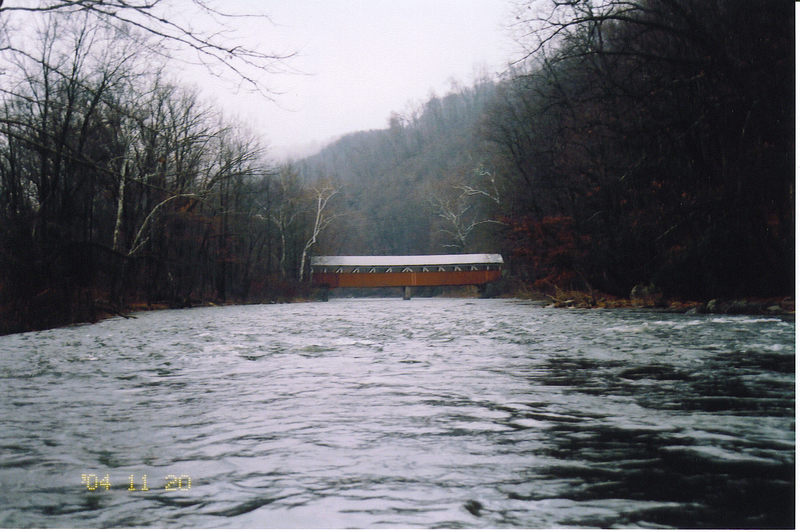
Photo
Description
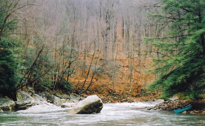
This is a very long Class II+(low to moderate levels) to III (higher levels) rapid (approximately 4-5 miles into the run) that may be recognized by small ledges leading into a 90 degree left hand turn. Immediately after this turn to river left, there is a big rock in the middle of the channel. Best line is to power to the river left of the rock. Moving right of the rock may also be an option, but this right hand line gets difficult at higher water. At low water, there is an eddy behind the rock; at high water, that turns into a boil. The gradient is 70 feet per mile for over 1-1/2 miles.
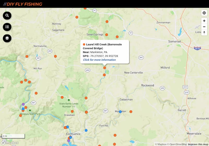
Location
Current Conditions
5-Day Forecast
American Whitewater