Take-out
ID
Riggins City Park Take Out
Little Salmon - 2. Hazard Creek to Salmon River at Riggins (ID)
Gauge Conditions
Data from American Whitewater & USGS
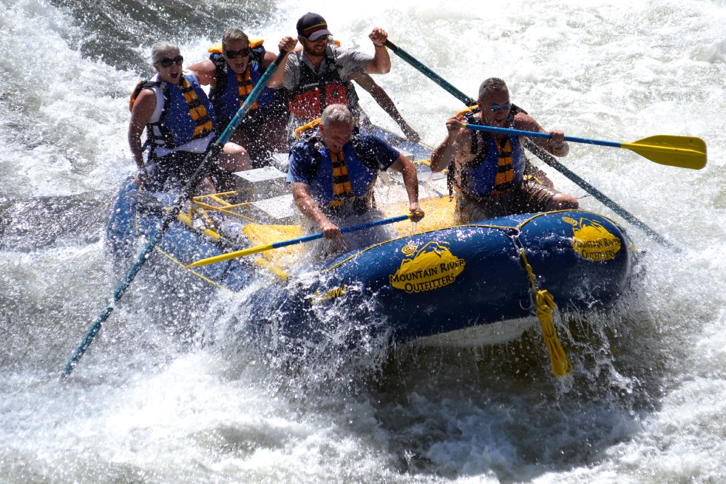
Photo
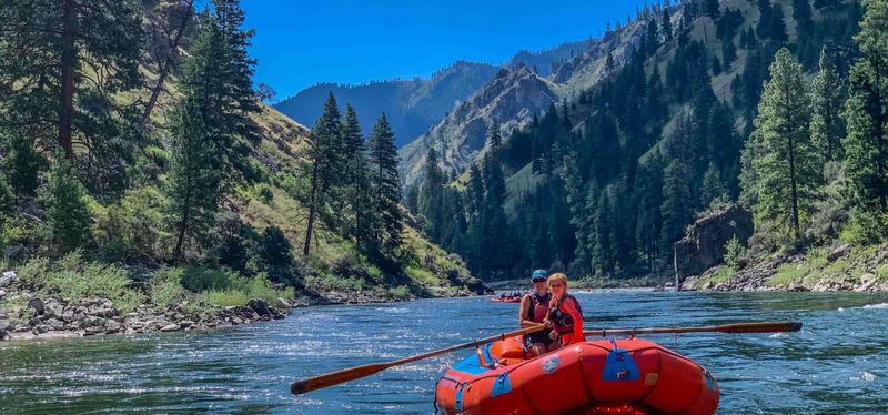
Photo courtesy of American Whitewater
Description
If boating the entire river, the Riggins City Park on the Main Salmon is the best access. The park is on river left at Highway 95 mile 195.7 and recognized by the historic wooden scow, used for one-way trips down the river, that marks the entrance to the park. A ramp provides access to the river.
Location
Other Rapids on This Run (3)
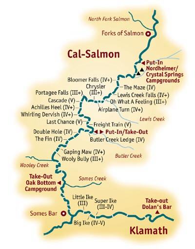
View Full Run
2. Hazard Creek to Salmon River at Riggins
Little Salmon
III-IV(V)
20.0 mi
Current Conditions
5-Day Forecast
Whitewater data from
American Whitewater
American Whitewater