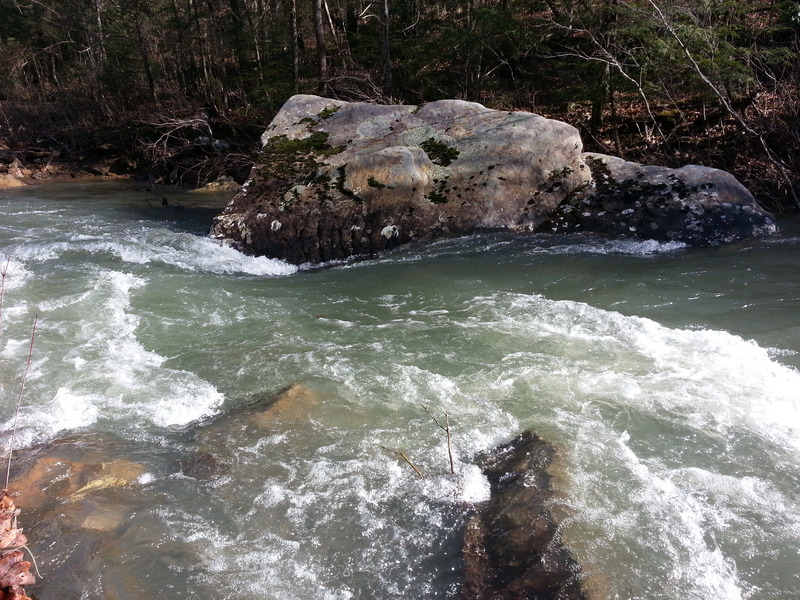
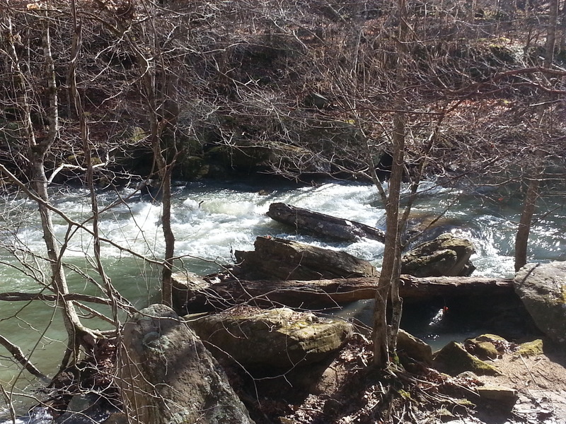
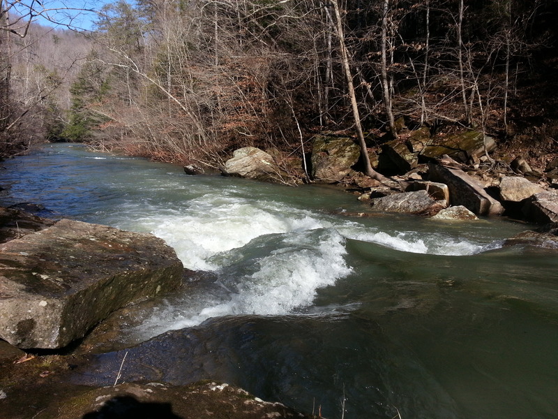
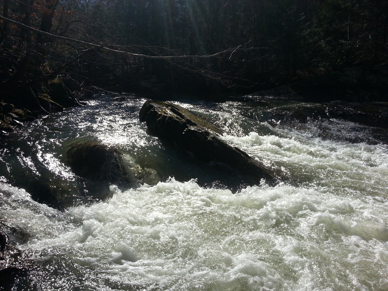
Rapid
KY
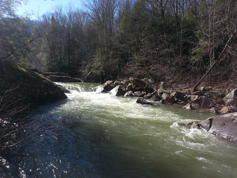
Rock Creek Road Bridge
Rock Creek (Cumberland trib) - B) Wooden Bridge to White Oak Junction (7.4 miles) (KY)
Gauge Conditions
Runnable: 11.5 – 14.5 FT
Low, but *maybe* runnable.
Data from American Whitewater & USGS
Photo
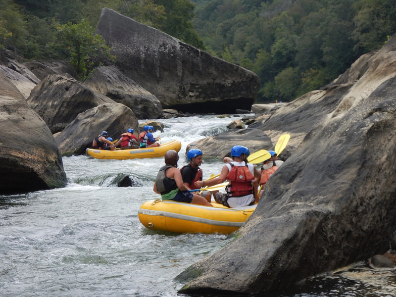
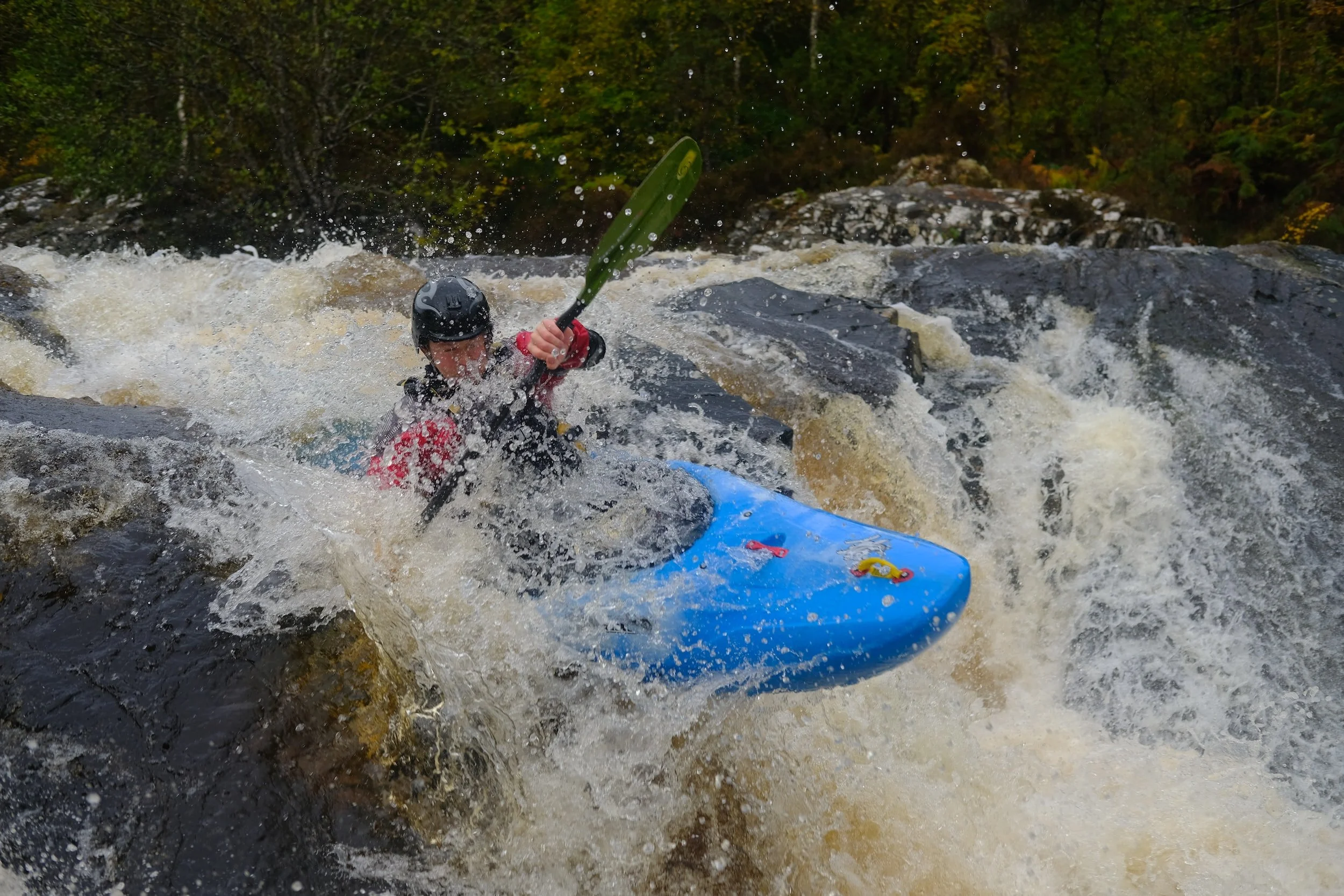
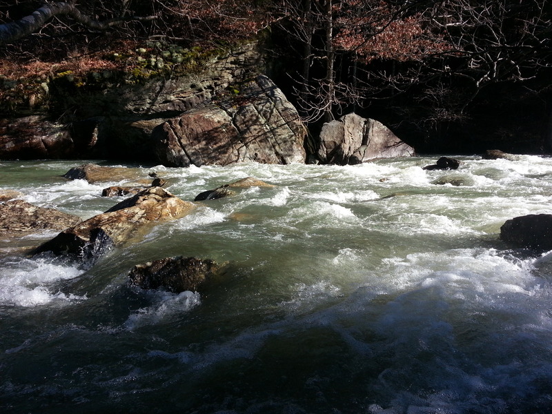
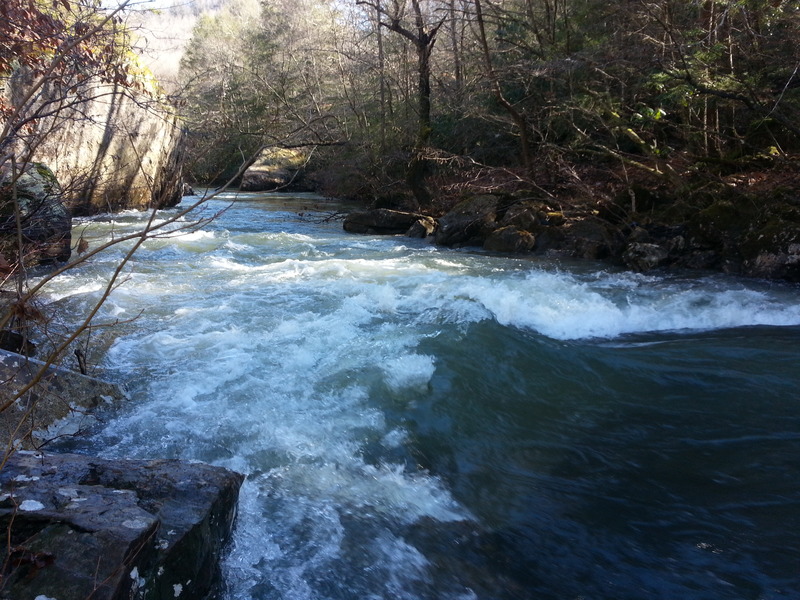
Photo courtesy of American Whitewater
Description
The Rock Creek Road Bridge rapid presents a mixed navigational challenge with scattered mid-stream boulder fields and potential pinning hazards. Paddlers should carefully scout the approach, noting the narrow channel and uneven riverbed that can create unpredictable water hydraulics, particularly during higher flow conditions. While specific difficulty ratings are unclear, attentive line selection and precise maneuvering are essential to successfully navigate this section without boat or swimmer entrapment.
Location

View Full Run
B) Wooden Bridge to White Oak Junction (7.4 miles)
Rock Creek (Cumberland trib)
II-III
7.2 mi
Current Conditions
5-Day Forecast
Whitewater data from
American Whitewater
American Whitewater