Gauge Conditions
Runnable: ? – ? CFS
Approximate - nearest available gauge. Use as general reference only.
Data from American Whitewater & USGS
Description
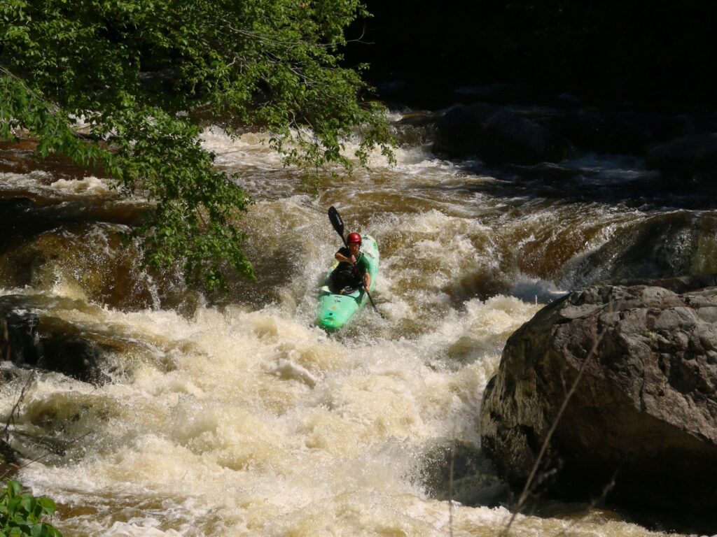
Aerial view appears to show a river-wide line of rock (a rock dam, perhaps?). Perhaps minor play at some flows.
Location
Other Rapids on This Run (14)
Rapid
N/A
Drainage: 163 sq.mi.
 Rapid
N/A
Rapid
N/A
Put In
Rapid
N/A
CR1 Bridge Supports
Rapid
N/A
Narrowing
Rapid
N/A
Second Narrowing
Rapid
N/A
Third Narrowing
Rapid
N/A
Short Boulderbed
Rapid
N/A
Minor rapids / bridge (ford?)
Rapid
N/A
Possible Access
 Rapid
N/A
Rapid
N/A
Nip Creek
Rapid
N/A
Boulderfield
Rapid
N/A
Rocky Narrow
Rapid
N/A
Rock Dam
 Rapid
N/A
Rapid
N/A
Take Out
View Full Run
A) Slate Lake (CR1) to 424 (8.4 miles)
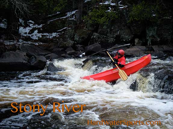
Stony
I-II
8.5 mi
Current Conditions
5-Day Forecast
Whitewater data from
American Whitewater
American Whitewater