Gauge Conditions
Runnable: ? – ? CFS
Approximate - nearest available gauge. Use as general reference only.
Data from American Whitewater & USGS
Description
After FR428, Denley Creek continues through wider floodplain area (trees well back from streambed) for over a mile until a rocky prominence is encountered. From aerial views and topo maps, it is tough to tell what is likely to be encountered here: short rapids pitch? or just a scenic outcropping?
Location
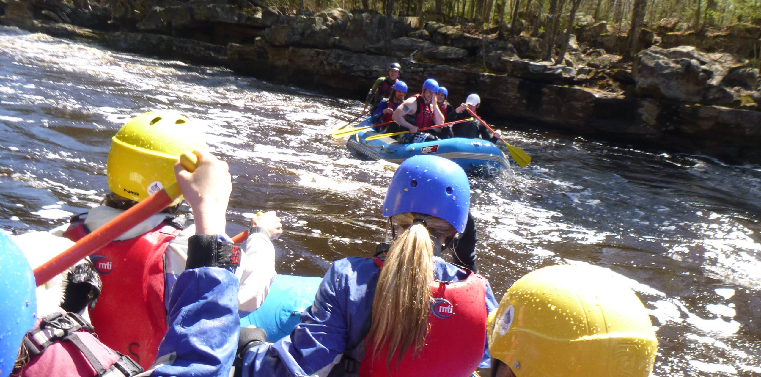
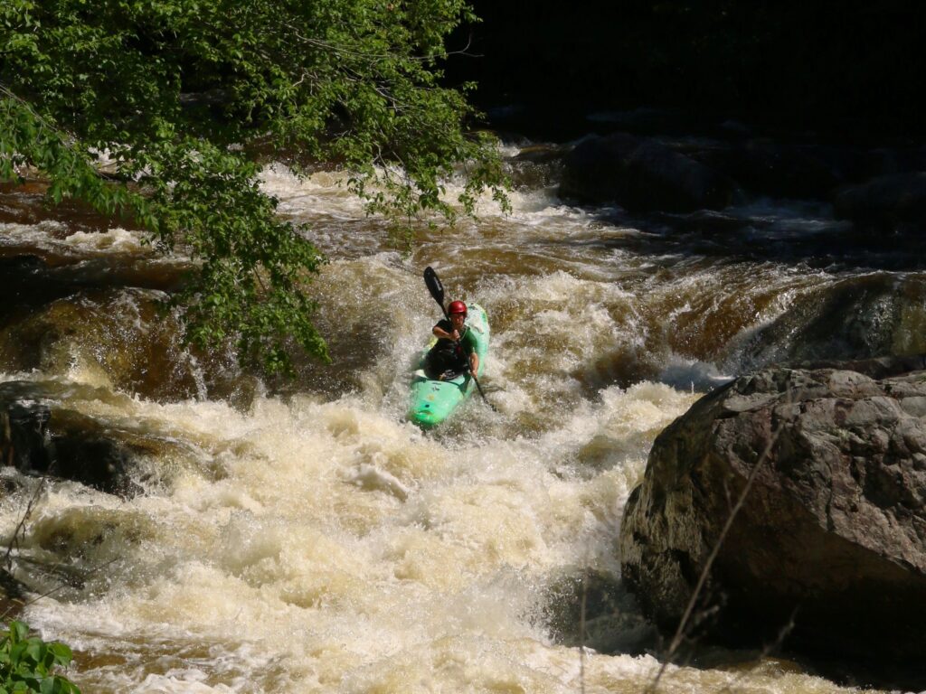
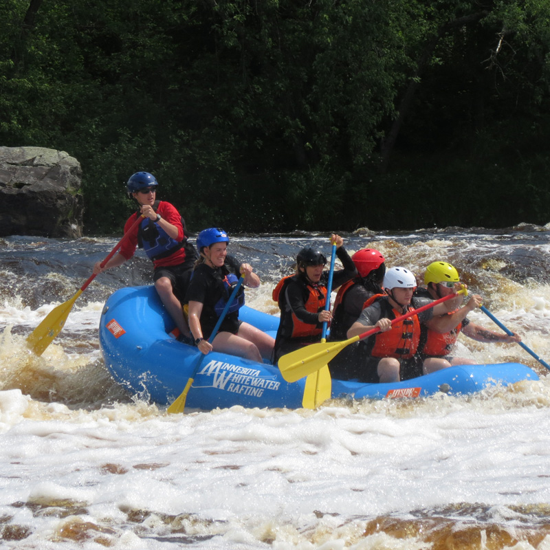
Other Rapids on This Run (17)
Rapid
N/A
Drainage: 8 sq.mi.
 Rapid
N/A
Rapid
N/A
Put In
Rapid
N/A
First Rocky Narrows
 Rapid
N/A
Rapid
N/A
Second Rocky Narrows
Rapid
N/A
Rocky Gap
Rapid
N/A
More Rocky Narrows
Rapid
N/A
Massively Rocky Stretch
Rapid
N/A
Final Rocky Narrows on Nira Creek
Rapid
N/A
Confluence, Denley Creek
Rapid
N/A
FR428
Rapid
N/A
Rock Wall
Rapid
N/A
Series of Rock Dikes
 Waterfall
N/A
Waterfall
N/A
Possibly more intesting rocky prominences
Rapid
N/A
Shortcut?
Rapid
N/A
Stony River Confluence
Rapid
N/A
Final drop
 Rapid
N/A
Rapid
N/A
Take Out
View Full Run
Harris Lake to Birch Lake (8 miles)
Nira/Denley Creek
I-II(III)
7.7 mi
Current Conditions
5-Day Forecast
Whitewater data from
American Whitewater
American Whitewater