Gauge Conditions
Runnable: ? – ? CFS
Approximate - nearest available gauge. Use as general reference only.
Data from American Whitewater & USGS
Description
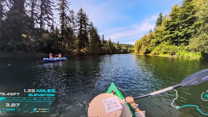
The boat ramp on the downstream side of the interstate bridge at river mile 6.1 and accessible from either the northbound or southbound direction on I-5. A road under the bridge adjacent to the boat launch connects the two sides of the rest area.
Location
Other Rapids on This Run (4)

View Full Run
3. Waterloo to Jefferson
Santiam, S.
I
28.1 mi
Current Conditions
5-Day Forecast
Whitewater data from
American Whitewater
American Whitewater