Saylor: Middle Fork Rd at Kentucky Branch Road (Uppermost likely put-in)
Kentucky, Middle Fork - Saylor to Hyden (up to 28 miles) (KY)
Gauge Conditions
Upper limit uncertain. Help out with a comment or report.
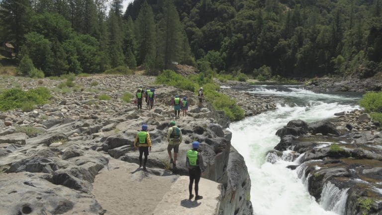
Photo
Description
Drainage at this point is ~3.2 square miles (extremely small!), so it would take being here during or immediately after significant rain for there to be runnable flows at this point.
If (when) this is feasible to run from this point: from here to our listed 'recommended put-in' (at Warbranch) is very nearly 6 miles. Mile by mile gradient (FPM): 87, 145, 77, 31, 30, 29.
While we have no specific knowledge of this section of river, those first three miles seem likely to contain significant whitewater (likely at least class III, possibly into class IV or higher, and could involve major scouting and portaging).
We highly encourage anyone who has put eyes on this area to help out fellow boaters with a "Trip Report" (especially if you can provide photos!). Are there falls? Rapids? Mandatory portages? Major problems with wood?
Location

Current Conditions
5-Day Forecast
American Whitewater