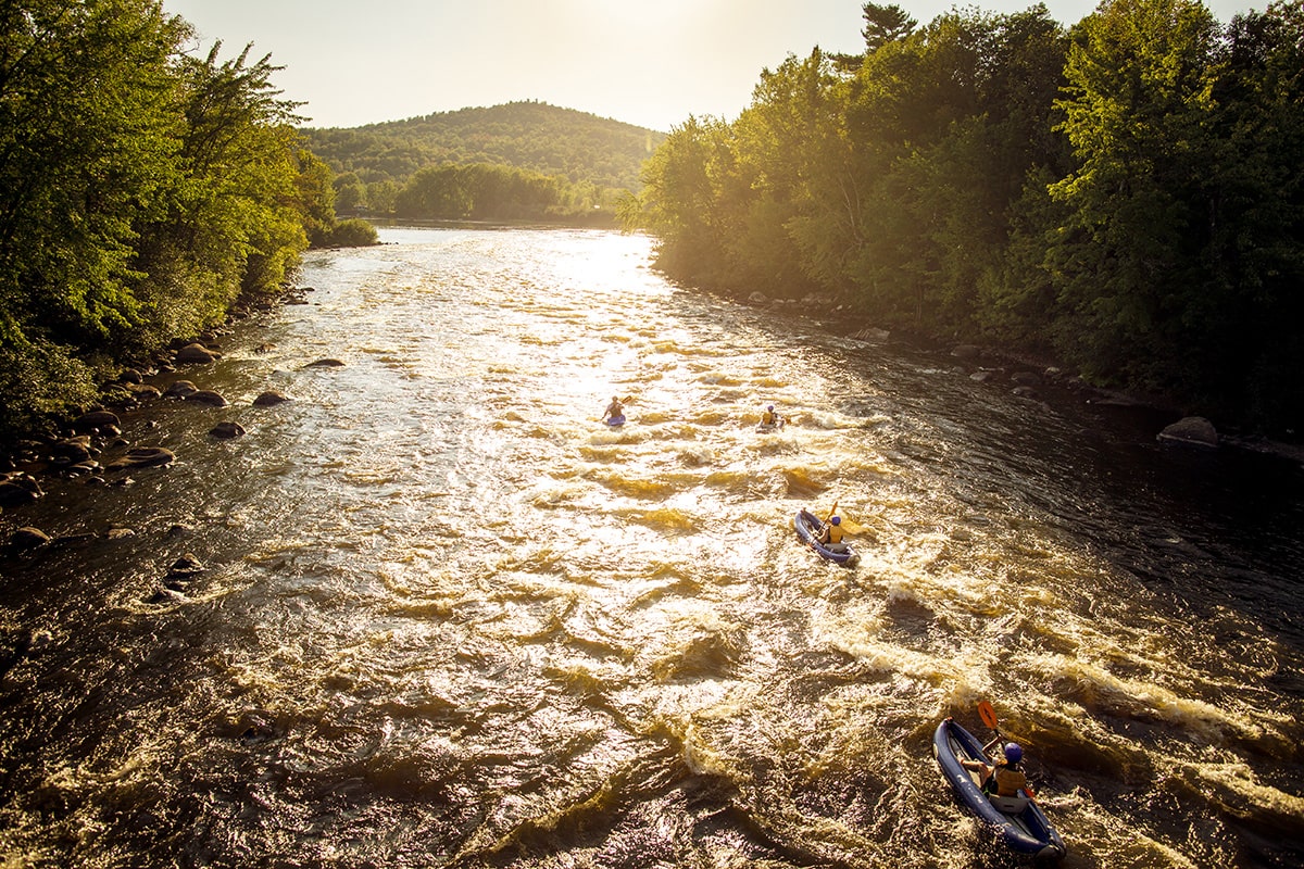
Second Steep Section
Piscataquog, South Branch - 1) Upper—Francestown to New Boston (NH)
Gauge Conditions
Data from American Whitewater & USGS
Description
42
Location
Other Rapids on This Run (3)
View Full Run
1) Upper—Francestown to New Boston
Piscataquog, South Branch
II-III(IV)
7.7 mi
Current Conditions
5-Day Forecast
Whitewater data from
American Whitewater
American Whitewater