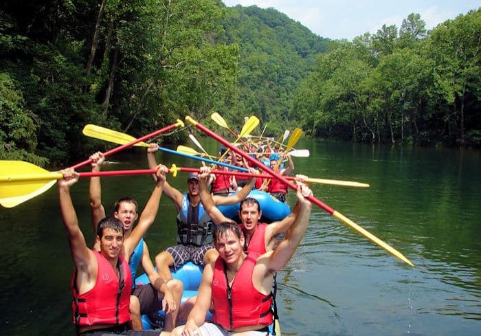
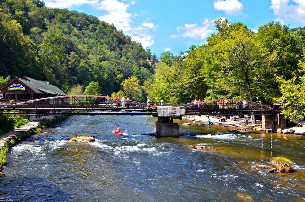
How's Your
River
×
Explore
Explore Map
Water Bodies
Gauges
Access Sites
Tidal Stations
Whitewater
Pricing
Login
Sign Up
Hazard Warning:
Hazard information may be user-submitted and unverified. Conditions change frequently. Always scout rapids and obstacles yourself.
Whitewater
North Carolina
Oconaluftee - 1. Kephart Trail Bridge to Smokemont Campground Bridge
Smokemont Shoals
Rapid
NC
Class III
Smokemont Shoals
Oconaluftee - 1. Kephart Trail Bridge to Smokemont Campground Bridge (NC)
Monitor this Rapid
Water Body
This Run
Map
Other Rapids
Gauge
Weather
Directions
Gauge Conditions
Oconaluftee River at Birdtown, NC
Downstream
Primary
Runnable: 0.0 – 1,500.0 CFS
Too Low to Boat (L0-L9)
Data from
American Whitewater
&
USGS
Description
A quarter mile long rock garden involving quickly negotiating rocks, small drops, and ledge holes. It is the epitome of class 2-3 micro-creeking in the Smokies.
Location
Radar
Counties
Cell
Verizon
AT&T
T-Mobile
Dark
Satellite
Terrain
Other Rapids on This Run (6)
Rapid
N/A
Put In
0.0 mi
Rapid
III+
Left-Right-Left-Right
0.4 mi
Rapid
II+
Wall Rapid
2.1 mi
Rapid
N/A
Confluence with Bradley Fork
3.9 mi
Rapid
III
Smokemont Ledge
4.0 mi
Rapid
N/A
Smokemont Bridge
4.1 mi
Type
Rapid
Difficulty
Class III
Mile Marker
3.2 mi
Directions
Navigate
View Full Run
1. Kephart Trail Bridge to Smokemont Campground Bridge
Oconaluftee
III
4.2 mi
Current Conditions
5-Day Forecast
Whitewater data from
American Whitewater
Smokemont Shoals